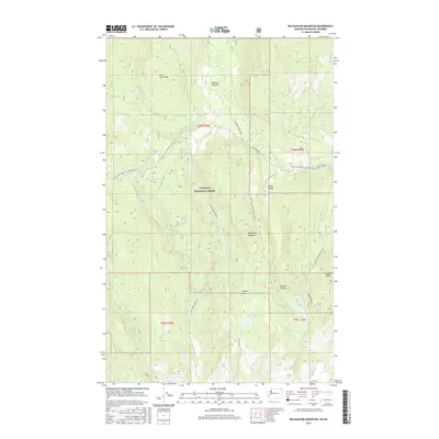
2017 Map of Belshazzar Mountain
USGS Topo · Published 2017About this map
Colville National Forest dominates this mountain landscape in Stevens County, defined by the towering heights of Belshazzar Mountain and Lead Pencil Mtn. The 2017 survey reveals a terrain carved by numerous drainages, including American Fork Big Sheep Cr and the various forks of Crown Creek. For those exploring the backcountry, the Pacific NW National Scenic Trail winds through the western and central portions of the quadrangle, passing near Elbow Lake. Small pockets of level ground such as Bennett Meadow and Sleepy Hollow provide contrast to the steep topography. Evidence of historical land use and resource access is visible through the forest road network, including Hubbard Mine Rd and Natl Forest Develop Road 210 Rd, which link remote springs like Zodiac Spring and Lead Pencil Spring to the broader region.
Find a feature on this map
35 named features on this map. Tap any name to fly to it.
Don’t see what you’re looking for? This feature index may not catch every label — zoom into the map to look around manually.
Map Details
Editions of this 2017 Belshazzar Mountain Map
This is the sole edition of this map. No revisions or reprints were ever made.
Other maps of this area

1929 · Colville
USGS Topo · 1:125,000

1933 · Colville
USGS Topo · 1:125,000

1936 · Marcus
USGS Topo · 1:96,000

1942 · Marcus
USGS Topo · 1:125,000

1948 · Orient
USGS Topo · 1:62,500

1951 · Orient
USGS Topo · 1:62,500

1954 · Okanogan
USGS Topo · 1:250,000

1958 · Okanogan
USGS Topo · 1:250,000

1958 · Sandpoint
USGS Topo · 1:250,000

1963 · Sandpoint
USGS Topo · 1:250,000