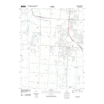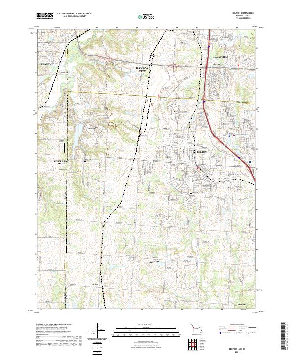
2021 Map of Belton
USGS Topo · Published 2021About this map
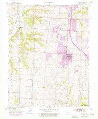
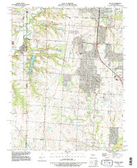
The Little Blue River and its tributaries carve through the state line borderlands south of Kansas City, defining a landscape of suburban growth and institutional landmarks. Belton and Grandview anchor the Missouri side, showing a dense network of residential streets and community sites like the Calvary Bible College and Theological Seminary and the Belton Cem. This modern topographic study captures the transition from the established grid of the cities to the more open spaces of Jaudon and the area near the Blue River to the west.
Find a feature on this map
170 named features on this map. Tap any name to fly to it.
Don’t see what you’re looking for? This feature index may not catch every label — zoom into the map to look around manually.
Map Details
Editions of this 2021 Belton Map
This is the sole edition of this map. No revisions or reprints were ever made.
Historical Maps of Kansas City Through Time
8 maps found