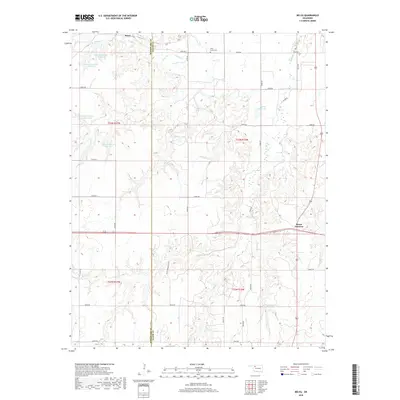
2018 Map of Belva
USGS Topo · Published 2018About this map
Belva and the surrounding high plains landscape sit along the boundary of Woodward Co and Major Co in northwest Oklahoma. This territory is defined by a sophisticated water management system of private and municipal catchments, including the Debock Number 1 Reservoir, Debock Number 2 Reservoir, and Debock Number 3 Reservoir, which dot the drainage basins of Cuddy Cr and W Cr. The infrastructure reflects the region's agricultural dependency on consistent water storage.
Find a feature on this map
37 named features on this map. Tap any name to fly to it.
Don’t see what you’re looking for? This feature index may not catch every label — zoom into the map to look around manually.
Map Details
Editions of this 2018 Belva Map
This is the sole edition of this map. No revisions or reprints were ever made.
Other maps of this area

1955 · Woodward
USGS Topo · 1:250,000

1958 · Woodward
USGS Topo · 1:250,000

1969 · Mooreland SE
USGS Topo · 1:24,000

1969 · Phroso
USGS Topo · 1:24,000

1969 · Belva
USGS Topo · 1:24,000

1969 · Quinlan
USGS Topo · 1:24,000

1969 · Waynoka East
USGS Topo · 1:24,000

1969 · Cedardale
USGS Topo · 1:24,000

1969 · Togo
USGS Topo · 1:24,000

1969 · Waynoka West
USGS Topo · 1:24,000