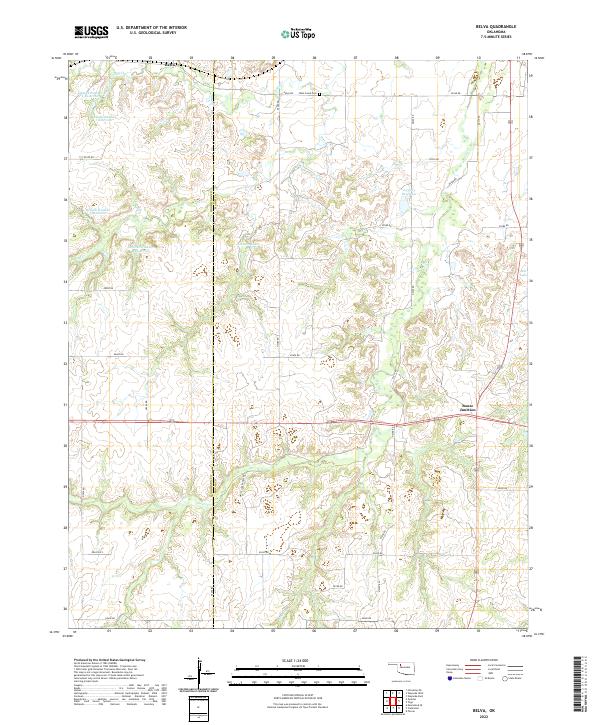
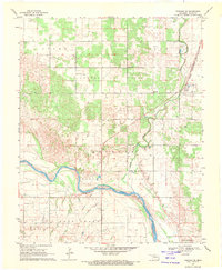
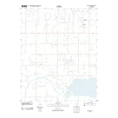
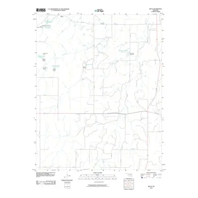
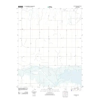
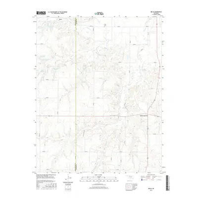
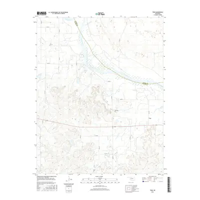
2022 Map of Belva
USGS Topo · Published 2022About this map
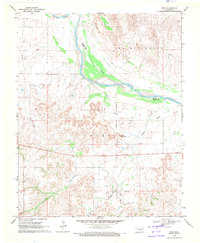
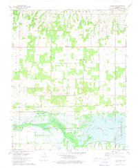
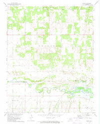
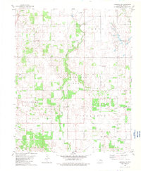
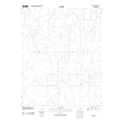
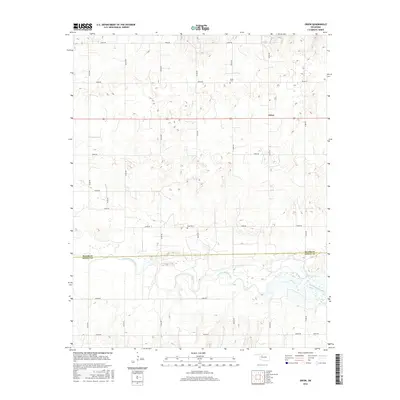
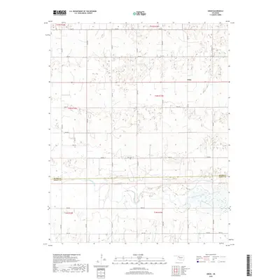
Belva and the surrounding plains of northwestern Oklahoma are defined by a network of seasonal creeks and managed water resources. This landscape, straddling the Woodward Co Major Co line, reveals an agricultural and ranching economy dependent on features like Debock Number 1 Reservoir and the Johnson Lake. The concentration of named reservoirs and private holdings, such as those accessed via White Law Ranch Rd, highlights the adaptation of land use to the semi-arid environment.
Find a feature on this map
40 named features on this map. Tap any name to fly to it.
Don’t see what you’re looking for? This feature index may not catch every label — zoom into the map to look around manually.
Map Details
Editions of this 2022 Belva Map
This is the sole edition of this map. No revisions or reprints were ever made.
Historical Maps of Belva Through Time
66 maps found
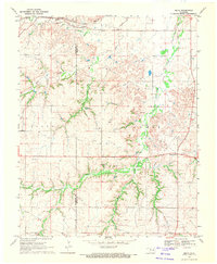
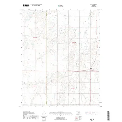
1969 Belva
Major County, OK
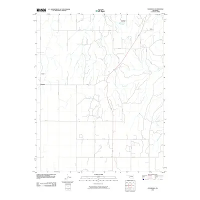
1969 Cedardale
Major County, OK
1969 Fairview NE
Major County, OK
1969 Fairview SE
Major County, OK
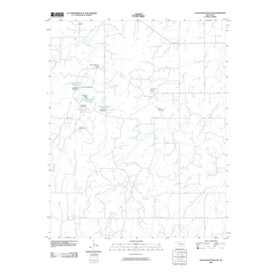
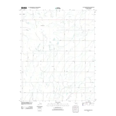
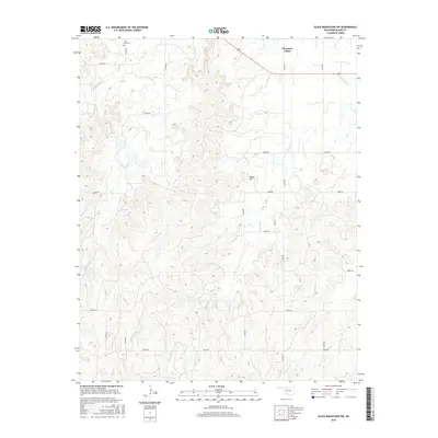
1969 Glass Mountains
Major County, OK
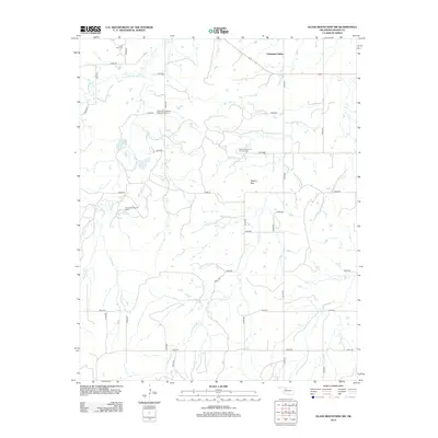
1969 Glass Mountains SW
Major County, OK
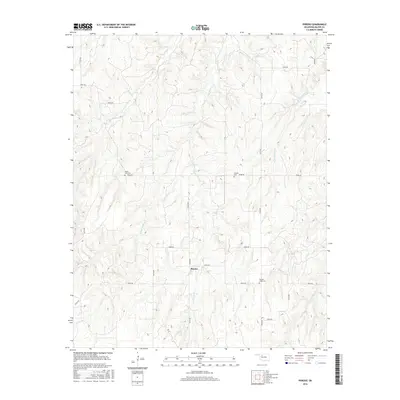
1969 Phroso
Major County, OK
1969 Togo
Major County, OK
1972 Canton NW
Major County, OK
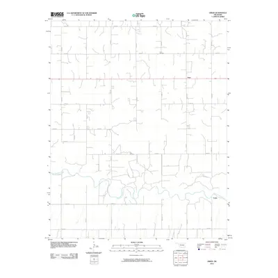
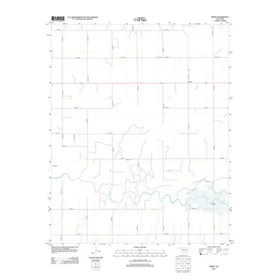
1972 Orion
Major County, OK
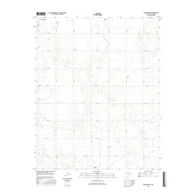
1982 Ringwood SW
Major County, OK
2009 Canton NW
Major County, OK
2009 Fairview NE
Major County, OK
2009 Fairview SE
Major County, OK
2009 Glass Mountains
Major County, OK
2009 Glass Mountains SW
Major County, OK
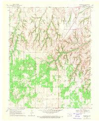
2010 Belva
Major County, OK
2010 Cedardale
Major County, OK
2010 Orion
Major County, OK
2010 Phroso
Major County, OK
2010 Ringwood SW
Major County, OK
2010 Togo
Major County, OK
2012 Belva
Major County, OK
2012 Canton NW
Major County, OK
2012 Cedardale
Major County, OK
2012 Fairview NE
Major County, OK
2012 Fairview SE
Major County, OK
2012 Glass Mountains
Major County, OK
2012 Glass Mountains SW
Major County, OK
2012 Orion
Major County, OK
2012 Phroso
Major County, OK
2012 Ringwood SW
Major County, OK
2012 Togo
Major County, OK
2016 Belva
Major County, OK
2016 Canton NW
Major County, OK
2016 Cedardale
Major County, OK
2016 Fairview NE
Major County, OK
2016 Fairview SE
Major County, OK
2016 Glass Mountains
Major County, OK
2016 Glass Mountains SW
Major County, OK
2016 Orion
Major County, OK
2016 Phroso
Major County, OK
2016 Ringwood SW
Major County, OK
2016 Togo
Major County, OK
2018 Belva
Major County, OK
2018 Canton NW
Major County, OK
2018 Cedardale
Major County, OK
2018 Fairview NE
Major County, OK
2018 Fairview SE
Major County, OK
2018 Glass Mountains
Major County, OK
2018 Glass Mountains SW
Major County, OK
2018 Orion
Major County, OK
2018 Phroso
Major County, OK
2018 Ringwood SW
Major County, OK
2018 Togo
Major County, OK
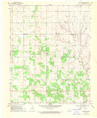
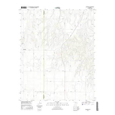
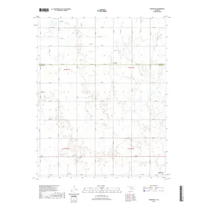
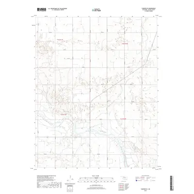
2022 Belva
Major County, OK
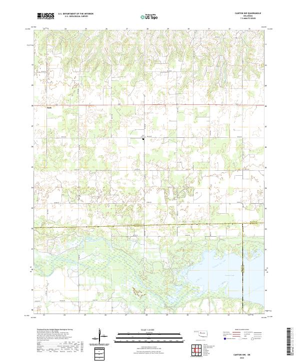
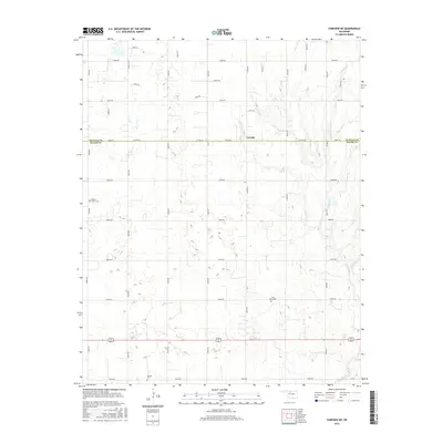
2022 Canton NW
Major County, OK
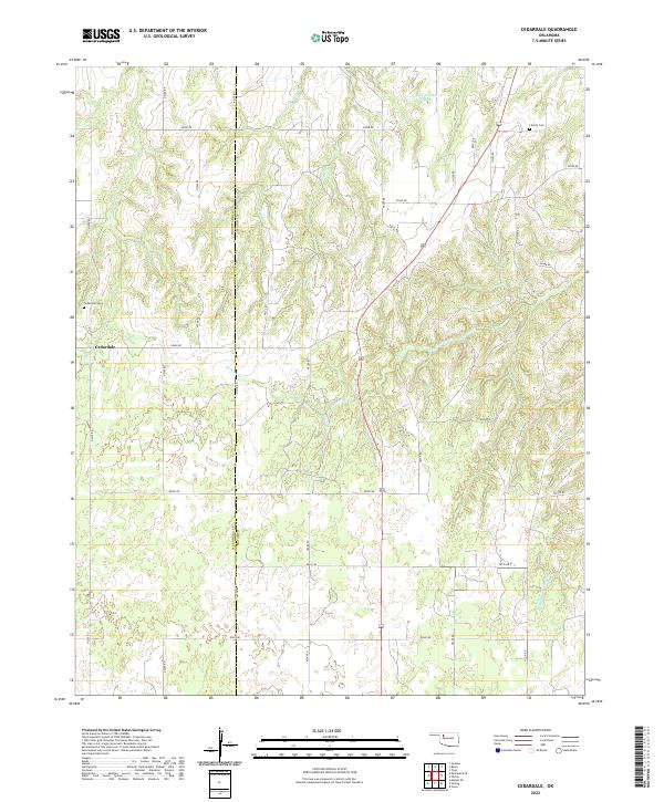
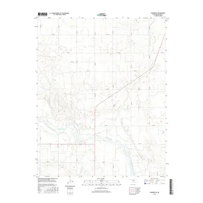
2022 Cedardale
Major County, OK
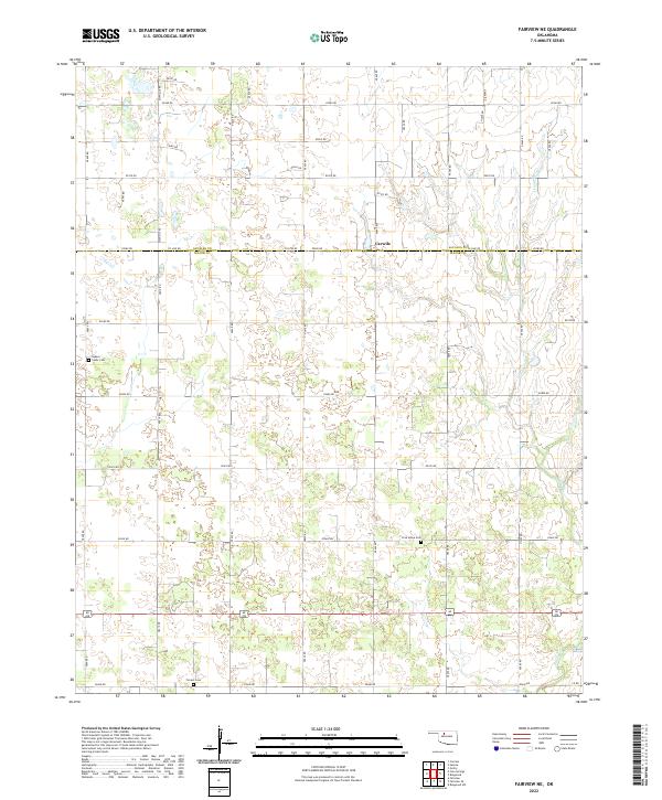
2022 Fairview NE
Major County, OK
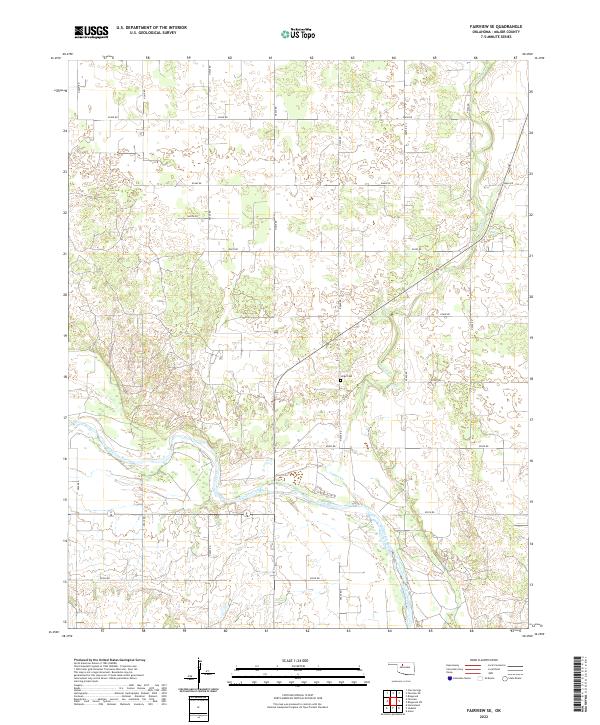
2022 Fairview SE
Major County, OK
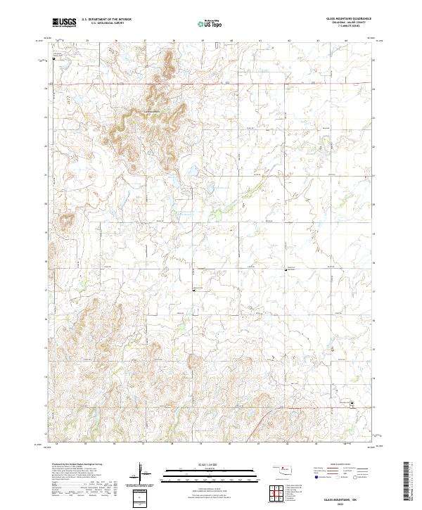
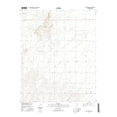
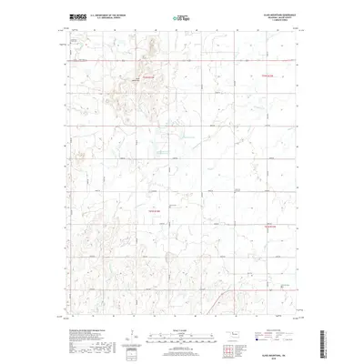
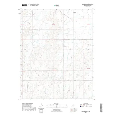
2022 Glass Mountains
Major County, OK
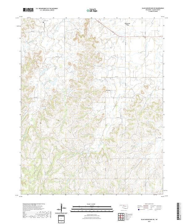
2022 Glass Mountains SW
Major County, OK
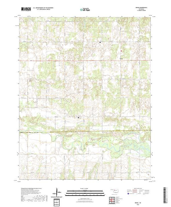
2022 Orion
Major County, OK
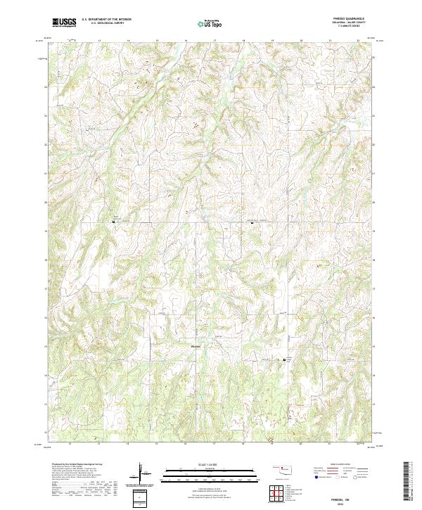
2022 Phroso
Major County, OK
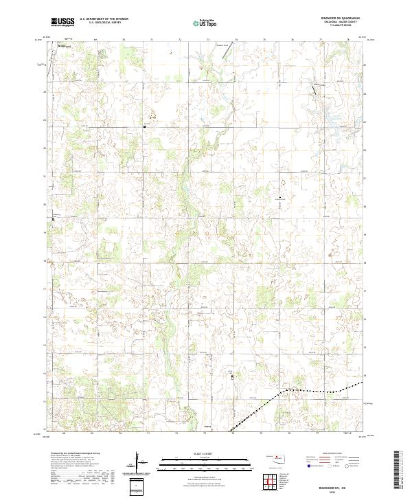
2022 Ringwood SW
Major County, OK
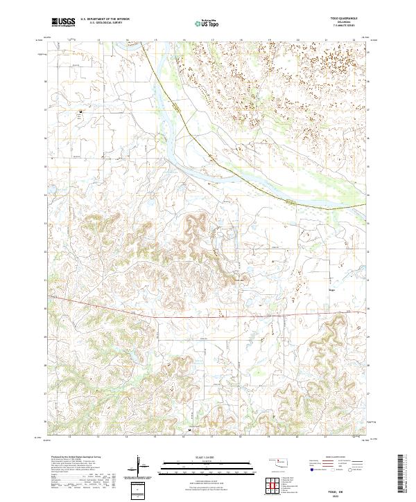
2022 Togo
Major County, OK