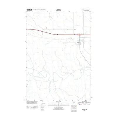
2012 Map of Belvidere
USGS Topo · Published 2012About this map
Belvidere serves as the primary hub in this West River landscape, situated north of the meandering White River. The town layout is clearly defined by a grid of streets including A St, C St, and D St, with a central Po serving the local population. This 2012 survey illustrates the corridor where Interstate 90 and Highway 16 run parallel, cutting through the vast grasslands of Jackson County.
Find a feature on this map
29 named features on this map. Tap any name to fly to it.
Don’t see what you’re looking for? This feature index may not catch every label — zoom into the map to look around manually.
Map Details
Editions of this 2012 Belvidere Map
This is the sole edition of this map. No revisions or reprints were ever made.
Other maps of this area

1951 · Pass Creek NW
USGS Topo · 1:24,000

1951 · Stamford SW
USGS Topo · 1:24,000

1951 · Belvidere
USGS Topo · 1:24,000

1951 · Belvidere SW
USGS Topo · 1:24,000

1951 · Cedar Butte NW
USGS Topo · 1:24,000

1951 · Pass Creek NE
USGS Topo · 1:24,000

1953 · Belvidere NE
USGS Topo · 1:24,000

1954 · Belvidere NW
USGS Topo · 1:24,000

1955 · Martin
USGS Topo · 1:250,000

1958 · Martin
USGS Topo · 1:250,000