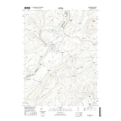
2016 Map of Belvidere
USGS Topo · Published 2016About this map
Belvidere sits as the central hub of this Warren County landscape, positioned where the Pequest River joins the Delaware River. The river's course is interrupted by the notable Foul Rift and Foul Rift Falls, which create a complex series of channels around Foul Rift Islands and Masons Island. This geography long defined the local economy, from the river-side industry at Riverton to the upland agricultural settlements of Montana, Brass Castle, and Summerfield. To the northeast, the terrain rises sharply toward Jenny Jump Mtn, looming over the communities of Sarepta and Bridgeville. The map also documents institutional and infrastructure points like the Warren County Community Coll near Pleasant Valley and the Matthews Airport in the south. This survey captures a mix of established town centers and small hamlets connected by historic corridors such as the Martins Creek Belvidere Hwy and Depue Ferry Rd.
Find a feature on this map
113 named features on this map. Tap any name to fly to it.
Don’t see what you’re looking for? This feature index may not catch every label — zoom into the map to look around manually.
Map Details
Editions of this 2016 Belvidere Map
This is the sole edition of this map. No revisions or reprints were ever made.
Other maps of this area

1888 · Hackettstown
USGS Topo · 1:62,500

1890 · Easton
USGS Topo · 1:62,500

1890 · High Bridge
USGS Topo · 1:62,500

1891 · Easton
USGS Topo · 1:62,500

1891 · Delaware Water Gap
USGS Topo · 1:62,500

1893 · Delaware Water Gap
USGS Topo · 1:62,500

1894 · Hackettstown
USGS Topo · 1:62,500

1898 · Hackettstown
USGS Topo · 1:62,500

1898 · High Bridge
USGS Topo · 1:62,500

1900 · Raritan
USGS Topo · 1:125,000