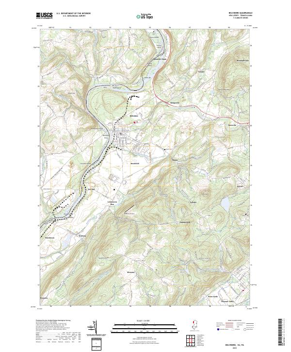
2023 Map of Belvidere
USGS Topo · Published 2023About this map
The Warren County Courthouse serves as the civic anchor of Belvidere, situated along the eastern banks of the Delaware River. This riverine landscape is defined by its complex hydrology, featuring numerous islands such as Attins Islands, Thomas Island, and McElhaneys Island, as well as the turbulent waters of Foul Rift Falls. The terrain shifts from the river valley toward the prominent elevations of Jenny Jump Mtn and Scotts Mtn, with the historic path of the Morris Canal visible in the southern reaches near Brass Castle. Scattered settlements like Manunka Chunk, Sarepta, and Lommasons Glen illustrate the region's enduring rural character. Genealogists may find value in the documentation of several burial sites, including Aten Cem and Hazen Cem, which are positioned near early transit corridors like Co RD 519.
Find a feature on this map
59 named features on this map. Tap any name to fly to it.
Don’t see what you’re looking for? This feature index may not catch every label — zoom into the map to look around manually.
Map Details
Editions of this 2023 Belvidere Map
This is the sole edition of this map. No revisions or reprints were ever made.
Other maps of this area

1888 · Hackettstown
USGS Topo · 1:62,500

1890 · Easton
USGS Topo · 1:62,500

1890 · High Bridge
USGS Topo · 1:62,500

1891 · Easton
USGS Topo · 1:62,500

1891 · Delaware Water Gap
USGS Topo · 1:62,500

1893 · Delaware Water Gap
USGS Topo · 1:62,500

1894 · Hackettstown
USGS Topo · 1:62,500

1898 · Hackettstown
USGS Topo · 1:62,500

1898 · High Bridge
USGS Topo · 1:62,500

1900 · Raritan
USGS Topo · 1:125,000