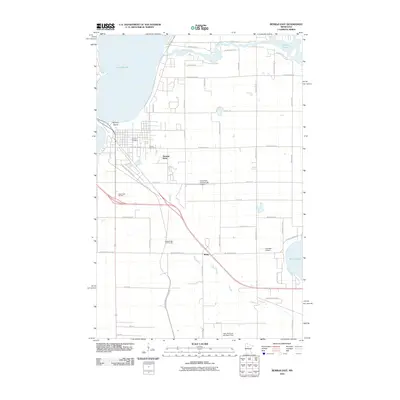
2010 Map of Bemidji East
USGS Topo · Published 2010About this map
The Mississippi River winds through the northern landscape of this region, connecting Lake Bemidji to the east towards Stump Lake. The terrain is characterized by its glacial hydrology and the expansion of residential and recreational areas eastward from the city center. At Nymore Beach, the shoreline serves as a focal point for local activity, while nearby Nymore Cemetery and Calvary Cemetery provide significant points of interest for genealogical research. The transportation network is anchored by the Paul Bunyan Trl, which follows a path through the heart of the area near the settlement of Rosby. Aviation infrastructure is well-represented by both the Cloverleaf-East Bemidji Airport and Chandler Airport, reflecting the importance of regional connectivity. In the southern portion of the map, the Necktie River flows through more open country near Nary National-Shefland Field, illustrating the shift from suburban development to rural Minnesota woodland and wetlands.
Find a feature on this map
59 named features on this map. Tap any name to fly to it.
Don’t see what you’re looking for? This feature index may not catch every label — zoom into the map to look around manually.
Map Details
Editions of this 2010 Bemidji East Map
This is the sole edition of this map. No revisions or reprints were ever made.
Other maps of this area

1920 · Buena Vista
USGS Topo · 1:62,500

1954 · Bemidji
USGS Topo · 1:250,000

1957 · Bemidji
USGS Topo · 1:250,000

1958 · Bemidji
USGS Topo · 1:250,000

1968 · Guthrie
USGS Topo · 1:24,000

1968 · Bemidji East
USGS Topo · 1:24,000

1968 · Frontenac Lake
USGS Topo · 1:24,000

1968 · Bemidji West
USGS Topo · 1:24,000

1972 · Peterson Lake
USGS Topo · 1:24,000

1972 · Turtle River Lake
USGS Topo · 1:24,000