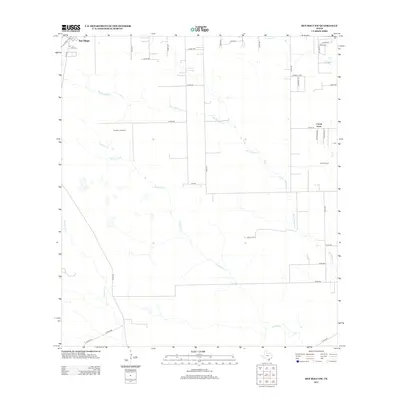
2013 Map of Ben Bolt NW
USGS Topo · Published 2013About this map
San Diego anchors the northwestern corner of this landscape, where the town's grid meets a network of county roads extending into the ranching and energy-producing country of Duval and Jim Wells counties. This 2013 survey illustrates the local dependence on intermittent waterways such as San Andreas Cr and Trinidad Cr, which carve shallow paths across the terrain. The presence of the Koopman Gas Field and the Alice Oil Field near Coyote Acres highlights the industrial character of the region, where energy extraction is woven into the rural layout. A dense web of numbered county roads, including Co Rd-155 and FM-625, connects these production sites to the surrounding community. This map provides a detailed view of the rural infrastructure as it stood in the early 21st century, making it an essential resource for tracing local family landholdings or the evolution of the South Texas oil and gas industry.
Find a feature on this map
42 named features on this map. Tap any name to fly to it.
Don’t see what you’re looking for? This feature index may not catch every label — zoom into the map to look around manually.
Map Details
Editions of this 2013 Ben Bolt NW Map
This is the sole edition of this map. No revisions or reprints were ever made.
Other maps of this area

1917 · Ben Bolt
USGS Topo · 1:62,500

1920 · San Diego
USGS Topo · 1:62,500

1956 · Benavides
USGS Topo · 1:62,500

1956 · Rosita Ranch
USGS Topo · 1:62,500

1956 · Laredo
USGS Topo · 1:250,000

1963 · Ben Bolt SE
USGS Topo · 1:24,000

1963 · San Diego
USGS Topo · 1:24,000
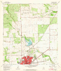
1963 · Alice North
USGS Topo · 1:24,000

1963 · Ben Bolt NW
USGS Topo · 1:24,000
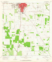
1963 · Alice South
USGS Topo · 1:24,000
Featured Places
- San Diego, TX
- Buena Vista Colonia, TX
- La Masa Road Colonia, TX
- Coyote Acres, TX
- Coyote Acres Colonia, TX