
1963 Map of Ben Bolt NW
USGS Topo · Published 1964About this map
The boundary between Duval Co and Jim Wells Co cuts through a landscape defined by mid-century petroleum development and ranching interests in South Texas. In the northwest corner, the outskirts of San Diego reveal a rural settlement pattern adjacent to a small Cem. The map captures a moment when industrial infrastructure was heavily integrated into the brush country, notably within the Koopman Gas Field and the sprawling Ben Bolt Oil Field.
Find a feature on this map
12 named features on this map. Tap any name to fly to it.
Don’t see what you’re looking for? This feature index may not catch every label — zoom into the map to look around manually.
Map Details
Editions of this 1963 Ben Bolt NW Map
This is the sole edition of this map. No revisions or reprints were ever made.
Other maps of this area

1917 · Ben Bolt
USGS Topo · 1:62,500

1920 · San Diego
USGS Topo · 1:62,500

1956 · Benavides
USGS Topo · 1:62,500

1956 · Rosita Ranch
USGS Topo · 1:62,500

1956 · Laredo
USGS Topo · 1:250,000

1963 · Ben Bolt SE
USGS Topo · 1:24,000

1963 · San Diego
USGS Topo · 1:24,000
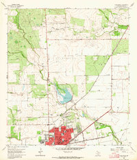
1963 · Alice North
USGS Topo · 1:24,000
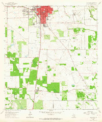
1963 · Alice South
USGS Topo · 1:24,000
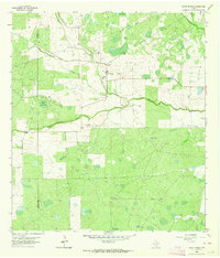
1963 · Palito Blanco
USGS Topo · 1:24,000
Featured Places
- San Diego, TX
- English Acres Colonia, TX
- Coyote Acres Colonia, TX
- Coyote Acres, TX
- Hilltop Estates Colonia, TX