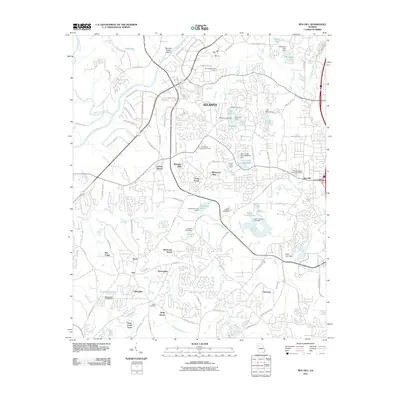
2011 Map of Ben Hill
USGS Topo · Published 2011About this map
Chattahoochee River frontage and a series of residential developments define the landscape southwest of Atlanta on this 2011 survey. The map details the transition from established neighborhoods like Ben Hill and Cliftondale to suburban forest enclaves including Sherbrook Forest and Canaan Woods. Local landmarks of social and historical importance appear across the sheet, such as the Sandtown Community House and Saint Josephs Orphanage.
Find a feature on this map
108 named features on this map. Tap any name to fly to it.
Don’t see what you’re looking for? This feature index may not catch every label — zoom into the map to look around manually.
Map Details
Editions of this 2011 Ben Hill Map
This is the sole edition of this map. No revisions or reprints were ever made.
Other maps of this area

1888 · Atlanta
USGS Topo · 1:125,000

1890 · Atlanta
USGS Topo · 1:125,000

1891 · Marietta
USGS Topo · 1:125,000

1892 · Atlanta
USGS Topo · 1:125,000

1895 · Atlanta
USGS Topo · 1:125,000

1895 · Marietta
USGS Topo · 1:125,000

1897 · Marietta
USGS Topo · 1:125,000

1901 · Marietta
USGS Topo · 1:125,000

1953 · Atlanta
USGS Topo · 1:250,000

1954 · Palmetto
USGS Topo · 1:24,000