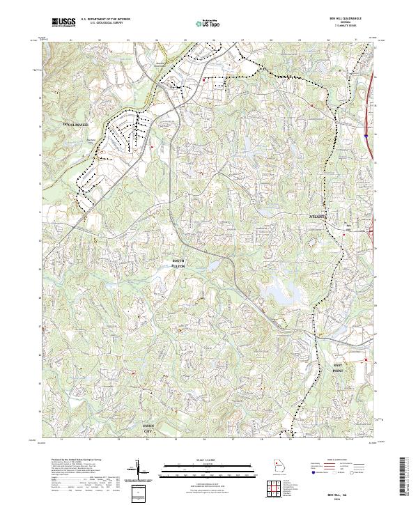
2024 Map of Ben Hill
USGS Topo · Published 2024About this map
The Chattahoochee River carves through the western landscape of this modern Fulton County survey, serving as the historical boundary between Douglasville and the expanding reach of South Fulton. This area is defined by a complex network of suburban development and municipal growth, where the historic crossroads of Ben Hill and the established centers of East Point and Union City converge. The terrain is notably water-rich, featuring the City of East Point Reservoir and numerous named lakes like Niskey Lake and Granite Lake.
Find a feature on this map
42 named features on this map. Tap any name to fly to it.
Don’t see what you’re looking for? This feature index may not catch every label — zoom into the map to look around manually.
Map Details
Editions of this 2024 Ben Hill Map
This is the sole edition of this map. No revisions or reprints were ever made.
Other maps of this area

1888 · Atlanta
USGS Topo · 1:125,000

1890 · Atlanta
USGS Topo · 1:125,000

1891 · Marietta
USGS Topo · 1:125,000

1892 · Atlanta
USGS Topo · 1:125,000

1895 · Atlanta
USGS Topo · 1:125,000

1895 · Marietta
USGS Topo · 1:125,000

1897 · Marietta
USGS Topo · 1:125,000

1901 · Marietta
USGS Topo · 1:125,000

1953 · Atlanta
USGS Topo · 1:250,000

1954 · Palmetto
USGS Topo · 1:24,000