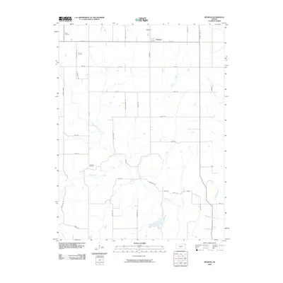
2009 Map of Bendena
USGS Topo · Published 2009About this map
Bendena serves as the primary community in this portion of Atchison County, appearing as a compact grid of streets at the junction of 165th Road and Friendship Road. The surrounding landscape is defined by the drainage basins of Independence Creek and its major tributaries, including the North Branch Independence Creek and Jordan Creek. This survey reveals a high density of family-named roads and landmarks that are essential for genealogical research in Shannon Township.
Find a feature on this map
44 named features on this map. Tap any name to fly to it.
Don’t see what you’re looking for? This feature index may not catch every label — zoom into the map to look around manually.
Map Details
Editions of this 2009 Bendena Map
This is the sole edition of this map. No revisions or reprints were ever made.
Other maps of this area

1885 · Atchison
USGS Topo · 1:125,000

1888 · Atchison
USGS Topo · 1:125,000

1893 · Atchison
USGS Topo · 1:125,000

1926 · Atchison
USGS Topo · 1:62,500

1926 · Oregon
USGS Topo · 1:62,500

1950 · Kansas City
USGS Topo · 1:250,000
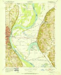
1951 · Rushville
USGS Topo · 1:24,000

1954 · Kansas City
USGS Topo · 1:250,000

1956 · Kansas City
USGS Topo · 1:250,000
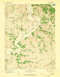
1959 · Sparks
USGS Topo · 1:24,000