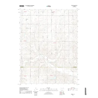
2018 Map of Bendena
USGS Topo · Published 2018About this map
Bendena anchors the high ground of the Missouri River bluff country in northeast Kansas, situated at the junction of Friendship Rd and 160th St. This upland terrain is deeply dissected by several drainage networks, primarily Jordan Cr and the multiple branches of Independence Cr. The map reveals a high density of rural homesteads and family burial sites, which are essential for genealogical research in this part of Doniphan and Atchison Counties. Small, secluded family grounds like Vickery Family Cem and Robertson Cem are tucked away from the main thoroughfares, while Bitner Cem sits near the northern boundary. The road network, including historic routes like Kennekuk Rd and Diamond Springs Rd, follows the section lines of the Public Land Survey System, illustrating how late-20th-century agriculture and land ownership continue to be defined by the original 19th-century grid.
Find a feature on this map
45 named features on this map. Tap any name to fly to it.
Don’t see what you’re looking for? This feature index may not catch every label — zoom into the map to look around manually.
Map Details
Editions of this 2018 Bendena Map
This is the sole edition of this map. No revisions or reprints were ever made.
Other maps of this area

1885 · Atchison
USGS Topo · 1:125,000

1888 · Atchison
USGS Topo · 1:125,000

1893 · Atchison
USGS Topo · 1:125,000

1926 · Atchison
USGS Topo · 1:62,500

1926 · Oregon
USGS Topo · 1:62,500

1950 · Kansas City
USGS Topo · 1:250,000
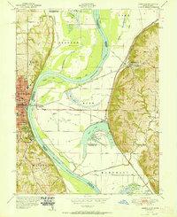
1951 · Rushville
USGS Topo · 1:24,000

1954 · Kansas City
USGS Topo · 1:250,000

1956 · Kansas City
USGS Topo · 1:250,000
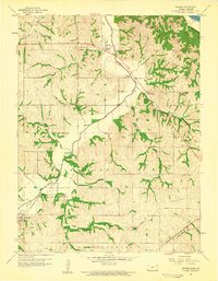
1959 · Sparks
USGS Topo · 1:24,000