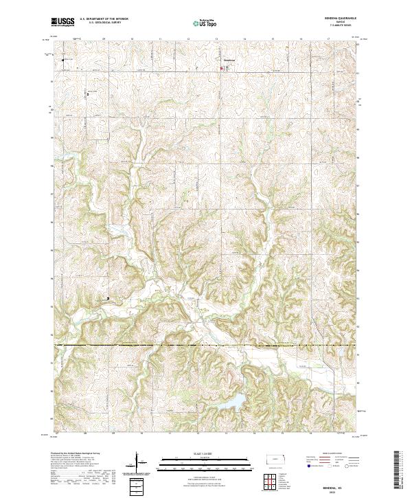
2022 Map of Bendena
USGS Topo · Published 2022About this map
Bendena sits at the northern edge of this agricultural landscape in northeastern Kansas, serving as a focal point for a network of rural section-line roads that cross the rolling terrain. The map documents a deeply etched drainage system where Independence Cr and its northern branch, N Br Independence Cr, wind through the township alongside Jordan Cr. This 2022 survey provides critical modern context for genealogists tracing family histories in the region, clearly marking several burial grounds including Bittner Cem, Victory Cem, and Robertson Cem.
Find a feature on this map
50 named features on this map. Tap any name to fly to it.
Don’t see what you’re looking for? This feature index may not catch every label — zoom into the map to look around manually.
Map Details
Editions of this 2022 Bendena Map
This is the sole edition of this map. No revisions or reprints were ever made.
Other maps of this area

1885 · Atchison
USGS Topo · 1:125,000

1888 · Atchison
USGS Topo · 1:125,000

1893 · Atchison
USGS Topo · 1:125,000

1926 · Atchison
USGS Topo · 1:62,500

1926 · Oregon
USGS Topo · 1:62,500

1950 · Kansas City
USGS Topo · 1:250,000
1951 · Rushville
USGS Topo · 1:24,000

1954 · Kansas City
USGS Topo · 1:250,000

1956 · Kansas City
USGS Topo · 1:250,000
1959 · Sparks
USGS Topo · 1:24,000