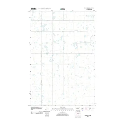
2011 Map of Benedict SW
USGS Topo · Published 2011About this map
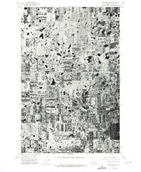
Glacial prairie potholes define this landscape in Ward County, which was captured during a 2009 aerial survey. The area is marked by a vast distribution of small, unnamed wetlands and ponds that characterize the North Dakota prairie. This natural hydrology is overlayed by a rigid section-line road network, including regional thoroughfares like 359th Ave SE and 30th St NW. The geography here reflects the persistent township-and-range surveying system, where long-distance routes such as 373rd Ave SE and 55th St SE provide the only structure across the water-dotted terrain. This map documents a sparsely settled agricultural region where the primary infrastructure consists of local connectors like 26th St NW and 25th St NW, serving isolated farmsteads in the rural corridor between larger regional centers.
Find a feature on this map
16 named features on this map. Tap any name to fly to it.
Don’t see what you’re looking for? This feature index may not catch every label — zoom into the map to look around manually.
Map Details
Editions of this 2011 Benedict SW Map
This is the sole edition of this map. No revisions or reprints were ever made.
Other maps of this area

1922 · Garrison
USGS Topo · 1:62,500

1929 · Coleharbor
USGS Topo · 1:62,500

1929 · Benedict
USGS Topo · 1:62,500

1954 · McClusky
USGS Topo · 1:250,000

1958 · McClusky
USGS Topo · 1:250,000

1974 · Benedict SE
USGS Topo · 1:24,000
1974 · Benedict NW
USGS Topo · 1:24,000
1974 · Benedict NE
USGS Topo · 1:24,000
1974 · Coleharbor NE
USGS Topo · 1:24,000
1974 · Benedict SW
USGS Topo · 1:24,000