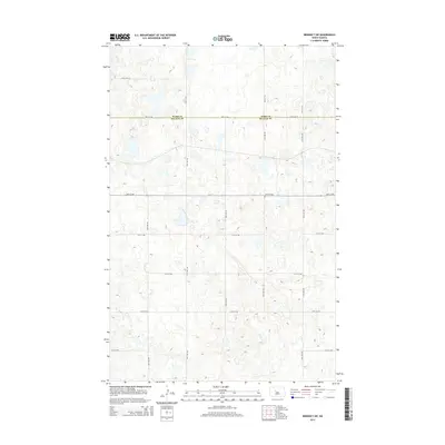
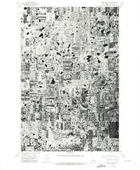
2014 Map of Benedict SW
USGS Topo · Published 2014About this map
The boundary between Ward Co and McLean Co divides this rural landscape in the Great Plains. Dominated by a complex glacial topography, the terrain is characterized by a dense network of small depressions and potholes, typical of the Missouri Coteau region. This 2014 survey documents a strictly orthogonal road system that ignores the undulating elevation, with routes such as 30th St NW and 28th St NW cutting straight across the prairie. The map provides a detailed view of the section-line roads and local infrastructure, including 359th Ave SE and 373rd Ave SE, which serve the scattered farmsteads and agricultural lands of this sparsely populated North Dakota quadrangle.
Find a feature on this map
17 named features on this map. Tap any name to fly to it.
Don’t see what you’re looking for? This feature index may not catch every label — zoom into the map to look around manually.
Map Details
Editions of this 2014 Benedict SW Map
This is the sole edition of this map. No revisions or reprints were ever made.
Other maps of this area

1922 · Garrison
USGS Topo · 1:62,500

1929 · Coleharbor
USGS Topo · 1:62,500

1929 · Benedict
USGS Topo · 1:62,500

1954 · McClusky
USGS Topo · 1:250,000

1958 · McClusky
USGS Topo · 1:250,000

1974 · Benedict SE
USGS Topo · 1:24,000
1974 · Benedict NW
USGS Topo · 1:24,000
1974 · Benedict NE
USGS Topo · 1:24,000
1974 · Coleharbor NE
USGS Topo · 1:24,000
1974 · Benedict SW
USGS Topo · 1:24,000