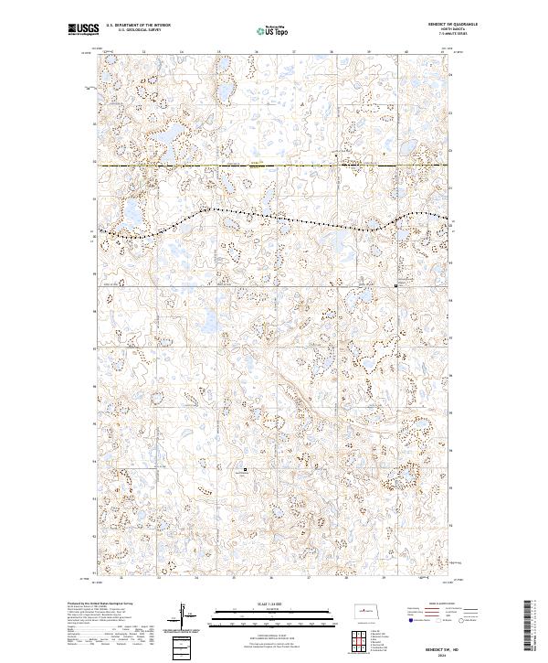
2024 Map of Benedict SW
USGS Topo · Published 2024About this map
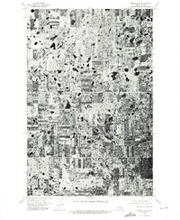
Saint Mathew Cem sits at the heart of this landscape, marking a rural community structure established within the grid of township and range lines. The border between Ward and McLean counties bisects the northern section of the map, where early twentieth-century settlement patterns are still visible in the placement of religious and civic landmarks. Religious heritage is particularly evident through the presence of the Church of God Cem and the Second Russian Baptist Cem, the latter suggesting the specific ethnic and denominational migration history of this North Dakota prairie. The terrain is defined by numerous small depressions and wetlands, many preserved within the McLean County Waterfowl Production Area. Local travel follows a strict section-line road network, including historic routes like Old Hwy 83 and Co Hwy 12.
Find a feature on this map
30 named features on this map. Tap any name to fly to it.
Don’t see what you’re looking for? This feature index may not catch every label — zoom into the map to look around manually.
Map Details
Editions of this 2024 Benedict SW Map
This is the sole edition of this map. No revisions or reprints were ever made.
Other maps of this area

1922 · Garrison
USGS Topo · 1:62,500

1929 · Coleharbor
USGS Topo · 1:62,500

1929 · Benedict
USGS Topo · 1:62,500

1954 · McClusky
USGS Topo · 1:250,000

1958 · McClusky
USGS Topo · 1:250,000

1974 · Benedict SE
USGS Topo · 1:24,000
1974 · Benedict NW
USGS Topo · 1:24,000
1974 · Benedict NE
USGS Topo · 1:24,000
1974 · Coleharbor NE
USGS Topo · 1:24,000
1974 · Benedict SW
USGS Topo · 1:24,000