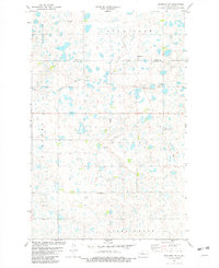
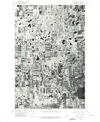
1981 Map of Benedict SW
USGS Topo · Published 1982About this map
Glacial potholes and small wetlands characterize this portion of the North Dakota prairie along the Ward and McLean County line. The landscape is a study in early 1980s land management, featuring a designated National Waterfowl Production Area set against a backdrop of organized rural townships like Economy, Poplar, and Rushville. The presence of Iota Flat and several Gravel Pits suggests a terrain shaped by post-glacial deposits, where agriculture and conservation coexist.
Find a feature on this map
14 named features on this map. Tap any name to fly to it.
Don’t see what you’re looking for? This feature index may not catch every label — zoom into the map to look around manually.
Map Details
Editions of this 1981 Benedict SW Map
This is the sole edition of this map. No revisions or reprints were ever made.
Other maps of this area

1922 · Garrison
USGS Topo · 1:62,500

1929 · Coleharbor
USGS Topo · 1:62,500

1929 · Benedict
USGS Topo · 1:62,500

1954 · McClusky
USGS Topo · 1:250,000

1958 · McClusky
USGS Topo · 1:250,000

1974 · Benedict SE
USGS Topo · 1:24,000
1974 · Benedict NW
USGS Topo · 1:24,000
1974 · Benedict NE
USGS Topo · 1:24,000
1974 · Coleharbor NE
USGS Topo · 1:24,000
1974 · Benedict SW
USGS Topo · 1:24,000