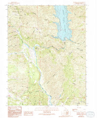
1989 Map of Benmore Canyon
USGS Topo · Published 1994About this map
Indian Valley Reservoir dominates the northeastern portion of this terrain, its blue waters held by a spillway and framed by a network of drainage canyons. The landscape is defined by the steep elevation changes of the Mendocino National Forest, where features like Wolf Creek Ridge and Blodgett Ridge separate the many seasonal and perennial flows feeding into the North Fork Cache Creek. This river system carves a winding path through the center of the sheet, passing beneath the prominence of Chalk Mountain.
Find a feature on this map
52 named features on this map. Tap any name to fly to it.
Don’t see what you’re looking for? This feature index may not catch every label — zoom into the map to look around manually.
Map Details
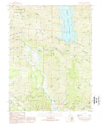
Editions of this 1989 Benmore Canyon Map
2 editions found
Other maps of this area

1920 · Venado
USGS Topo · 1:62,500

1924 · Bartlett Springs
USGS Topo · 1:62,500

1942 · Bartlett Springs
USGS Topo · 1:62,500

1943 · Morgan Valley
USGS Topo · 1:62,500

1944 · Bartlett Springs
USGS Topo · 1:62,500

1944 · Wilbur Springs
USGS Topo · 1:62,500

1944 · Morgan Valley
USGS Topo · 1:62,500

1945 · Lower Lake
USGS Topo · 1:62,500

1947 · Santa Rosa
USGS Topo · 1:250,000

1949 · Santa Rosa
USGS Topo · 1:250,000