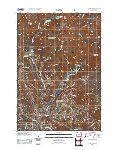
2011 Map of Bennet Peak
USGS Topo · Published 2011About this map
Bennet Peak anchors this high-elevation landscape in Union County, where complex hydrology and forest recreation define the terrain. The presence of Traverse Lake Dam and Echo Lake Dam indicates early 21st-century water management within these remote highlands, feeding a dense network of watercourses including Eagle Creek and Copper Creek. Human presence is primarily represented through seasonal campsites and forest service infrastructure, with West Eagle Camp, Two Color Horse Camp, and Forks Forest Camp serving as focal points for backcountry access. The map reveals a transition from open alpine spaces like West Eagle Meadow and Cougar Meadows to the dramatic relief of Bench Canyon and Copper Creek Falls. Historically significant for its forest management and outdoor recreation heritage, the area remains crossed by vital routes such as Eagle Creek Rd and Big Creek Rd.
Find a feature on this map
37 named features on this map. Tap any name to fly to it.
Don’t see what you’re looking for? This feature index may not catch every label — zoom into the map to look around manually.
Map Details
Editions of this 2011 Bennet Peak Map
This is the sole edition of this map. No revisions or reprints were ever made.
Other maps of this area

1901 · Baker City
USGS Topo · 1:125,000

1906 · Telocaset
USGS Topo · 1:125,000

1915 · Pine
USGS Topo · 1:125,000

1954 · Eagle Cap
USGS Topo · 1:62,500

1955 · Baker
USGS Topo · 1:250,000

1955 · Grangeville
USGS Topo · 1:250,000

1957 · Sparta
USGS Topo · 1:62,500

1959 · Baker
USGS Topo · 1:250,000

1959 · Grangeville
USGS Topo · 1:250,000

1965 · China Cap
USGS Topo · 1:24,000