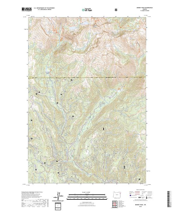
2024 Map of Bennet Peak
USGS Topo · Published 2024About this map
The Wallowa Mountains dominate this high-elevation landscape within the Whitman National Forest, where the protected Eagle Creek Wild and Scenic River carves a deep path through the terrain. This modern survey illustrates a wilderness primarily defined by its hydrological and recreational networks, ranging from the remote waters of Olive Lake and Echo Lake to the dramatic Copper Creek Falls. The map documents a distinct boundary between Union and Baker counties, crossing through West Eagle Meadow and down toward the lower drainage of Glendenning Creek.
Find a feature on this map
55 named features on this map. Tap any name to fly to it.
Don’t see what you’re looking for? This feature index may not catch every label — zoom into the map to look around manually.
Map Details
Editions of this 2024 Bennet Peak Map
This is the sole edition of this map. No revisions or reprints were ever made.
Other maps of this area

1901 · Baker City
USGS Topo · 1:125,000

1906 · Telocaset
USGS Topo · 1:125,000

1915 · Pine
USGS Topo · 1:125,000

1954 · Eagle Cap
USGS Topo · 1:62,500

1955 · Baker
USGS Topo · 1:250,000

1955 · Grangeville
USGS Topo · 1:250,000

1957 · Sparta
USGS Topo · 1:62,500

1959 · Baker
USGS Topo · 1:250,000

1959 · Grangeville
USGS Topo · 1:250,000

1965 · China Cap
USGS Topo · 1:24,000