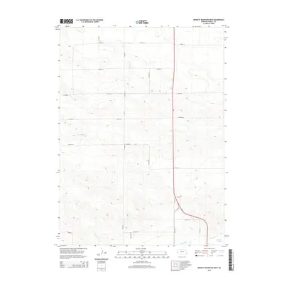
2014 Map of Bennett Reservoir West
USGS Topo · Published 2014About this map
Lodgepole Cr flows through the southeastern corner of this Kimball County landscape, providing a vital water source in an area dominated by an organized grid of county roads. The terrain is defined by the catchments of Bennett Reservoir and Leek Reservoir, which capture runoff in a region where water management is central to the land's utility. The road network is particularly dense for such an open area, with north-south routes like Longhorn Rd and Co Road 37 intersecting a series of east-west corridors from Co Road 52 down to Co Road 33. The alignment of Ne-71 and its predecessor, Old NE-71, illustrates the evolution of regional transportation along the High Plains, while Ridge Rd follows the natural contours of the local topography.
Find a feature on this map
20 named features on this map. Tap any name to fly to it.
Don’t see what you’re looking for? This feature index may not catch every label — zoom into the map to look around manually.
Map Details
Editions of this 2014 Bennett Reservoir West Map
This is the sole edition of this map. No revisions or reprints were ever made.
Other maps of this area

1954 · Scottsbluff
USGS Topo · 1:250,000

1958 · Scottsbluff
USGS Topo · 1:250,000

1972 · Owasco
USGS Topo · 1:24,000

1972 · Kimball
USGS Topo · 1:24,000

1972 · Oliver Reservoir
USGS Topo · 1:24,000

1973 · Kimball 2 NE
USGS Topo · 1:24,000

1973 · Kimball 2 SE
USGS Topo · 1:24,000

1973 · Kimball 1 SE
USGS Topo · 1:24,000

1973 · Kimball 1 NE
USGS Topo · 1:24,000

1973 · Kimball 1 NW
USGS Topo · 1:24,000