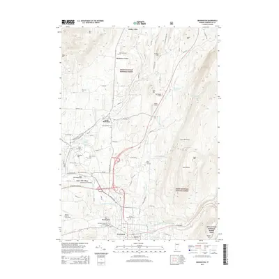
2015 Map of Bennington
USGS Topo · Published 2015About this map
The Walloomsac River carves through this corner of southwestern Vermont, defining a landscape where industrial heritage and early American history converge. Near the historic core of Old Bennington, the Bennington Center-Old First Church stands as a landmark of the region's cultural roots, while the Silk Road Covered Bridge at Paper Mill Village highlights the traditional engineering used to navigate the river's path. The map reveals a dense network of family and community sites, including the Rice-A-Winslow Farm Cem and Shaftsbury Center Cem, which offer significant value for genealogical research.
Find a feature on this map
66 named features on this map. Tap any name to fly to it.
Don’t see what you’re looking for? This feature index may not catch every label — zoom into the map to look around manually.
Map Details
Editions of this 2015 Bennington Map
This is the sole edition of this map. No revisions or reprints were ever made.
Other maps of this area

1894 · Equinox
USGS Topo · 1:62,500

1895 · Cambridge
USGS Topo · 1:62,500

1896 · Equinox
USGS Topo · 1:62,500

1897 · Hoosick
USGS Topo · 1:62,500

1898 · Cambridge
USGS Topo · 1:62,500

1898 · Bennington
USGS Topo · 1:62,500

1900 · Taconic
USGS Topo · 1:125,000

1900 · Equinox
USGS Topo · 1:62,500

1901 · Cambridge
USGS Topo · 1:62,500

1903 · Mettawee
USGS Topo · 1:125,000