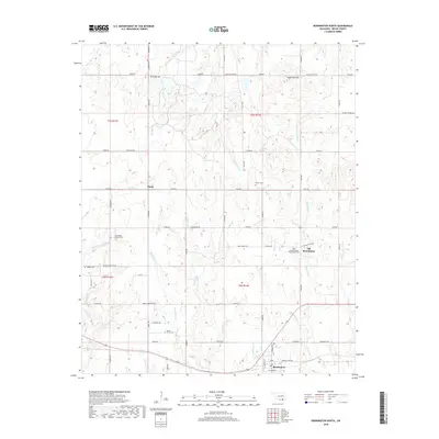
2018 Map of Bennington North
USGS Topo · Published 2018About this map
Old Bennington and the surrounding Bryan County landscape are captured here in a high-resolution 2018 survey, documenting a region defined by its small crossroads settlements and numerous burial sites. For genealogists and local historians, this map provides precise locations for several family and community landmarks, including the Old Bennington Presbyterian Cem and the Armstrong Academy Cem. The rural road network connects isolated clusters like Banty to prominent topographical features such as Tenmile Hill and Sugarloaf Mtn.
Find a feature on this map
65 named features on this map. Tap any name to fly to it.
Don’t see what you’re looking for? This feature index may not catch every label — zoom into the map to look around manually.
Map Details
Editions of this 2018 Bennington North Map
This is the sole edition of this map. No revisions or reprints were ever made.
Other maps of this area

1899 · Atoka
USGS Topo · 1:125,000

1900 · Atoka
USGS Topo · 1:125,000

1901 · Antlers
USGS Topo · 1:125,000

1903 · Paris
USGS Topo · 1:125,000

1912 · Antlers
USGS Topo · 1:125,000

1925 · Antlers
USGS Topo · 1:125,000

1948 · Direct
USGS Topo · 1:62,500

1949 · Direct
USGS Topo · 1:62,500

1950 · Mcalester
USGS Topo · 1:250,000

1953 · Texarkana
USGS Topo · 1:250,000