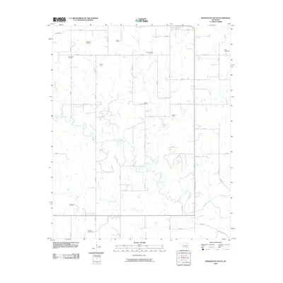
2009 Map of Bennington South
USGS Topo · Published 2009About this map
The Blue River winds extensively through the landscape of this southern Oklahoma quadrangle, defining the drainage patterns for numerous tributaries like Sassafras Creek, Sulphur Creek, and McGee Creek. This rural area in Bryan County is characterized by a grid of local roads and several small-scale water management structures, including the Gregory Lake Dam and McIntire Lake Dam.
Find a feature on this map
46 named features on this map. Tap any name to fly to it.
Don’t see what you’re looking for? This feature index may not catch every label — zoom into the map to look around manually.
Map Details
Editions of this 2009 Bennington South Map
This is the sole edition of this map. No revisions or reprints were ever made.
Other maps of this area

1899 · Atoka
USGS Topo · 1:125,000

1900 · Atoka
USGS Topo · 1:125,000

1901 · Antlers
USGS Topo · 1:125,000

1903 · Paris
USGS Topo · 1:125,000

1912 · Antlers
USGS Topo · 1:125,000

1925 · Antlers
USGS Topo · 1:125,000

1948 · Direct
USGS Topo · 1:62,500

1949 · Direct
USGS Topo · 1:62,500

1950 · Mcalester
USGS Topo · 1:250,000

1953 · Texarkana
USGS Topo · 1:250,000