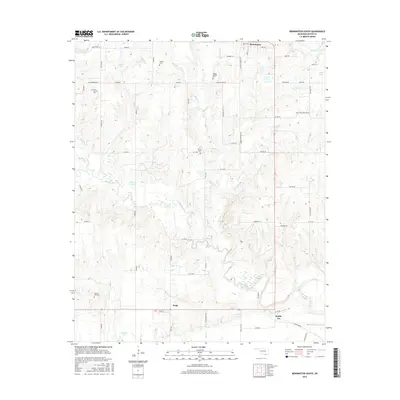
2016 Map of Bennington South
USGS Topo · Published 2016About this map
Blue River meanders across this portion of Bryan County, defining the drainage patterns of a landscape dotted with several rural settlements and family-named cemeteries. To the north, the community of Bennington sits along the upper edge of the sheet, while the southern reaches are marked by the small crossroads of Wade and Smith-Lee. The distribution of burial sites, such as Spring Hill Cem, Julius Cem, and McGee Springs Cem, provides significant points of interest for genealogical researchers and local historians studying the early inhabitancy of this Oklahoma region.
Find a feature on this map
49 named features on this map. Tap any name to fly to it.
Don’t see what you’re looking for? This feature index may not catch every label — zoom into the map to look around manually.
Map Details
Editions of this 2016 Bennington South Map
This is the sole edition of this map. No revisions or reprints were ever made.
Other maps of this area

1899 · Atoka
USGS Topo · 1:125,000

1900 · Atoka
USGS Topo · 1:125,000

1901 · Antlers
USGS Topo · 1:125,000

1903 · Paris
USGS Topo · 1:125,000

1912 · Antlers
USGS Topo · 1:125,000

1925 · Antlers
USGS Topo · 1:125,000

1948 · Direct
USGS Topo · 1:62,500

1949 · Direct
USGS Topo · 1:62,500

1950 · Mcalester
USGS Topo · 1:250,000

1953 · Texarkana
USGS Topo · 1:250,000