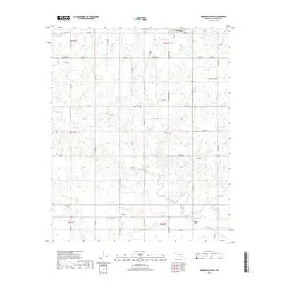
2018 Map of Bennington South
USGS Topo · Published 2018About this map
Blue River winds through the heart of this Bryan County landscape, a region defined by its traditional rural settlements and family cemeteries. The town of Bennington anchors the northern edge, while smaller communities like Wade and Smith-Lee are established further south near the river's lower reaches. These settlements are connected by an extensive grid of section-line roads, such as E2110 Rd and Main St, which mirror the Public Land Survey System boundaries.
Find a feature on this map
51 named features on this map. Tap any name to fly to it.
Don’t see what you’re looking for? This feature index may not catch every label — zoom into the map to look around manually.
Map Details
Editions of this 2018 Bennington South Map
This is the sole edition of this map. No revisions or reprints were ever made.
Other maps of this area

1899 · Atoka
USGS Topo · 1:125,000

1900 · Atoka
USGS Topo · 1:125,000

1901 · Antlers
USGS Topo · 1:125,000

1903 · Paris
USGS Topo · 1:125,000

1912 · Antlers
USGS Topo · 1:125,000

1925 · Antlers
USGS Topo · 1:125,000

1948 · Direct
USGS Topo · 1:62,500

1949 · Direct
USGS Topo · 1:62,500

1950 · Mcalester
USGS Topo · 1:250,000

1953 · Texarkana
USGS Topo · 1:250,000