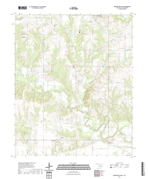
2022 Map of Bennington South
USGS Topo · Published 2022About this map
The winding Blue River dominates the central terrain of this Bryan County landscape, joined by numerous tributaries including Sulphur Cr and Bokchito Cr. This 2022 survey documents a rural section of Oklahoma defined by its small settlements and scattered pioneer-era landmarks. The town of Wade serves as a local hub near the southern border, while Smith-Lee sits further east along the river flats.
Find a feature on this map
64 named features on this map. Tap any name to fly to it.
Don’t see what you’re looking for? This feature index may not catch every label — zoom into the map to look around manually.
Map Details
Editions of this 2022 Bennington South Map
This is the sole edition of this map. No revisions or reprints were ever made.
Other maps of this area

1899 · Atoka
USGS Topo · 1:125,000

1900 · Atoka
USGS Topo · 1:125,000

1901 · Antlers
USGS Topo · 1:125,000

1903 · Paris
USGS Topo · 1:125,000

1912 · Antlers
USGS Topo · 1:125,000

1925 · Antlers
USGS Topo · 1:125,000

1948 · Direct
USGS Topo · 1:62,500

1949 · Direct
USGS Topo · 1:62,500

1950 · Mcalester
USGS Topo · 1:250,000

1953 · Texarkana
USGS Topo · 1:250,000