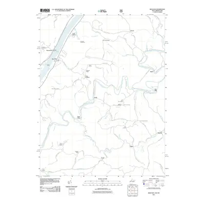
2011 Map of Bens Run
USGS Topo · Published 2011About this map
Middle Island Creek winds extensively through the landscape east of the Ohio River, defining the rural character of this region of Pleasants and Tyler Counties. The topography is marked by prominent high points such as Point Lookout and Oak Grove Ridge, overlooking a network of hollows and small settlements. The community of Bens Run serves as a focal point near the riverbank, supported by the Bens Run Post Office and nearby river access at Dawes Landing.
Find a feature on this map
85 named features on this map. Tap any name to fly to it.
Don’t see what you’re looking for? This feature index may not catch every label — zoom into the map to look around manually.
Map Details
Editions of this 2011 Bens Run Map
This is the sole edition of this map. No revisions or reprints were ever made.
Other maps of this area

1905 · West Union
USGS Topo · 1:62,500

1905 · New Matamoras
USGS Topo · 1:62,500

1906 · Saint Marys
USGS Topo · 1:62,500

1906 · New Martinsville
USGS Topo · 1:62,500

1924 · St Marys
USGS Topo · 1:62,500

1924 · New Martinsville
USGS Topo · 1:62,500

1924 · New Matamoras
USGS Topo · 1:62,500

1924 · West Union
USGS Topo · 1:62,500

1926 · New Martinsville
USGS Topo · 1:62,500

1926 · New Matamoras
USGS Topo · 1:62,500