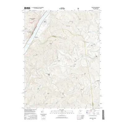
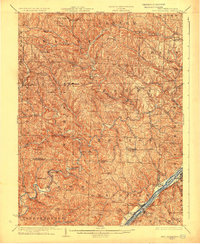
2016 Map of Bens Run
USGS Topo · Published 2016About this map
The Ohio River defines the western edge of this West Virginia landscape, where the Long Reach stretch of the waterway has long dictated the layout of riverside settlements. Small communities like Bens Run and Beavertown sit along the riverbanks, while the interior is marked by a complex network of ridges including Oak Grove Ridge and Federal Ridge. The map reveals a deeply etched topography of creeks and runs, such as Middle Island Creek and Sugar Cr, which once supported local industry and water power as evidenced by the namesake Falls Mills in the east.
Find a feature on this map
109 named features on this map. Tap any name to fly to it.
Don’t see what you’re looking for? This feature index may not catch every label — zoom into the map to look around manually.
Map Details
Editions of this 2016 Bens Run Map
This is the sole edition of this map. No revisions or reprints were ever made.
Other maps of this area

1905 · West Union
USGS Topo · 1:62,500
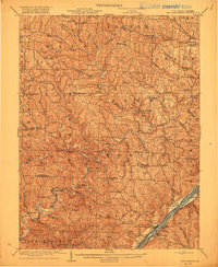
1905 · New Matamoras
USGS Topo · 1:62,500

1906 · Saint Marys
USGS Topo · 1:62,500
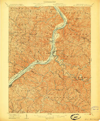
1906 · New Martinsville
USGS Topo · 1:62,500
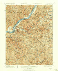
1924 · St Marys
USGS Topo · 1:62,500
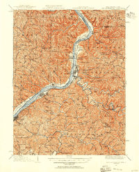
1924 · New Martinsville
USGS Topo · 1:62,500
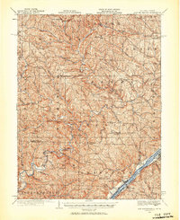
1924 · New Matamoras
USGS Topo · 1:62,500
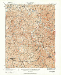
1924 · West Union
USGS Topo · 1:62,500
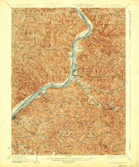
1926 · New Martinsville
USGS Topo · 1:62,500
1926 · New Matamoras
USGS Topo · 1:62,500