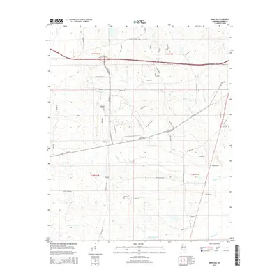
2015 Map of Bent Oak
USGS Topo · Published 2015About this map
Golden Triangle Regional Airport serves as a central landmark in this portion of Lowndes County, surrounded by a landscape defined by the drainage patterns of Motley Slough and Gilmer Cr. The settlement of Billups lies southwest of the airport, while Bent Oak is situated further east along Artesia Rd. This area reflects a deep-rooted rural character, indicated by several family-named landmarks and historical burial sites including Motley Cem, Prairie Hill Cem, and Wicks Cem.
Find a feature on this map
63 named features on this map. Tap any name to fly to it.
Don’t see what you’re looking for? This feature index may not catch every label — zoom into the map to look around manually.
Map Details
Editions of this 2015 Bent Oak Map
This is the sole edition of this map. No revisions or reprints were ever made.
Other maps of this area

1953 · West Point
USGS Topo · 1:250,000

1958 · West Point
USGS Topo · 1:250,000

1959 · Artesia
USGS Topo · 1:62,500

1959 · West Point
USGS Topo · 1:62,500

1960 · Caledonia
USGS Topo · 1:62,500

1960 · Columbus
USGS Topo · 1:62,500

1963 · West Point
USGS Topo · 1:250,000

1982 · West Point
USGS Topo · 1:100,000

1984 · West Point
USGS Topo · 1:250,000
1987 · Columbus North
USGS Topo · 1:24,000