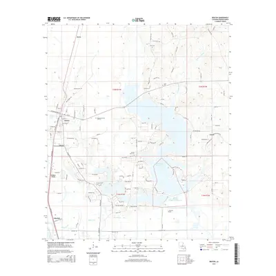
2015 Map of Benton
USGS Topo · Published 2015About this map
Cypress Bayou Reservoir dominates the eastern half of this Bossier Parish landscape, its winding shoreline creating a complex network of peninsulas and coves. The town of Benton serves as the primary hub in the west, surrounded by a high concentration of burial sites that trace the region's genealogical history, including Old Red River Cem, Macedonia Cem, and Pilkinton Cem. The terrain south of the reservoir is defined by additional water management features like Cypress Black Site Number Two Reservoir and the meandering path of Willow Chute.
Find a feature on this map
111 named features on this map. Tap any name to fly to it.
Don’t see what you’re looking for? This feature index may not catch every label — zoom into the map to look around manually.
Map Details
Editions of this 2015 Benton Map
This is the sole edition of this map. No revisions or reprints were ever made.
Other maps of this area

1932 · Bossier SE
USGS Topo · 1:31,680

1932 · Bossier NE
USGS Topo · 1:31,680

1932 · Bossier SW
USGS Topo · 1:31,680

1932 · Shreveport SE
USGS Topo · 1:31,680

1932 · Hosston SE
USGS Topo · 1:31,680

1932 · Bossier NW
USGS Topo · 1:31,680

1932 · Shreveport NE
USGS Topo · 1:31,680

1948 · Mooringsport
USGS Topo · 1:62,500

1948 · Vivian
USGS Topo · 1:62,500

1948 · Bossier City
USGS Topo · 1:62,500