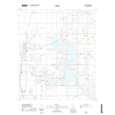
2018 Map of Benton
USGS Topo · Published 2018About this map
Benton serves as the focal point of this Bossier Parish landscape, situated near the eastern banks of the Red River. The geography is defined by a complex network of waterways, including the expansive Cypress Bayou Reservoir and Black Bayou Reservoir, which dominate the central and eastern portions of the map. These reservoirs, along with Little Caney Bayou and Cat Island Lake, illustrate the region's managed hydrology and its role in local recreation and water management.
Find a feature on this map
127 named features on this map. Tap any name to fly to it.
Don’t see what you’re looking for? This feature index may not catch every label — zoom into the map to look around manually.
Map Details
Editions of this 2018 Benton Map
This is the sole edition of this map. No revisions or reprints were ever made.
Other maps of this area

1932 · Bossier SE
USGS Topo · 1:31,680

1932 · Bossier NE
USGS Topo · 1:31,680

1932 · Bossier SW
USGS Topo · 1:31,680

1932 · Shreveport SE
USGS Topo · 1:31,680

1932 · Hosston SE
USGS Topo · 1:31,680

1932 · Bossier NW
USGS Topo · 1:31,680

1932 · Shreveport NE
USGS Topo · 1:31,680

1948 · Mooringsport
USGS Topo · 1:62,500

1948 · Vivian
USGS Topo · 1:62,500

1948 · Bossier City
USGS Topo · 1:62,500