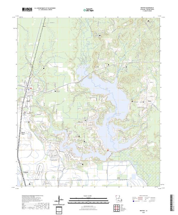
2024 Map of Benton
USGS Topo · Published 2024About this map
Benton serves as the focal point of this Bossier Parish landscape, where civic life is anchored by the Bossier Parish Courthouse. The area is defined by the significant expansion of the Cypress Bayou Reservoir and Black Bayou Reservoir, which dominate the central terrain and separate the primary settlement from outlying communities like Linton and Barso. These water bodies have transformed the local topography, once defined by the elevations of the Bay Hills, into a complex network of points and coves.
Find a feature on this map
139 named features on this map. Tap any name to fly to it.
Don’t see what you’re looking for? This feature index may not catch every label — zoom into the map to look around manually.
Map Details
Editions of this 2024 Benton Map
This is the sole edition of this map. No revisions or reprints were ever made.
Other maps of this area

1932 · Bossier SE
USGS Topo · 1:31,680

1932 · Bossier NE
USGS Topo · 1:31,680

1932 · Bossier SW
USGS Topo · 1:31,680

1932 · Shreveport SE
USGS Topo · 1:31,680

1932 · Hosston SE
USGS Topo · 1:31,680

1932 · Bossier NW
USGS Topo · 1:31,680

1932 · Shreveport NE
USGS Topo · 1:31,680

1948 · Mooringsport
USGS Topo · 1:62,500

1948 · Vivian
USGS Topo · 1:62,500

1948 · Bossier City
USGS Topo · 1:62,500