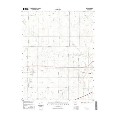
2015 Map of Benton
USGS Topo · Published 2015About this map
Benton and Towanda anchor this portion of Butler County, where the plains are defined by the winding course of the Whitewater River and its numerous tributaries. The landscape is structured by a precise grid of rural routes, including NW 30th St and SW 50th St, which connect dispersed farmsteads and agricultural holdings. The map details the local aviation infrastructure serving the region, notably Lloyd Stearman Field and Taylor Airport, reflecting the area's importance in regional travel and crop management.
Find a feature on this map
65 named features on this map. Tap any name to fly to it.
Don’t see what you’re looking for? This feature index may not catch every label — zoom into the map to look around manually.
Map Details
Editions of this 2015 Benton Map
This is the sole edition of this map. No revisions or reprints were ever made.
Other maps of this area

1888 · Eldorado
USGS Topo · 1:125,000

1889 · Wichita
USGS Topo · 1:125,000

1894 · Wichita
USGS Topo · 1:125,000

1945 · Andover
USGS Topo · 1:31,680

1955 · Santa Fe Lake
USGS Topo · 1:24,000

1955 · Benton
USGS Topo · 1:24,000

1955 · Greenwich
USGS Topo · 1:24,000

1955 · Wichita
USGS Topo · 1:250,000
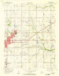
1956 · Andover
USGS Topo · 1:24,000

1958 · Wichita
USGS Topo · 1:250,000