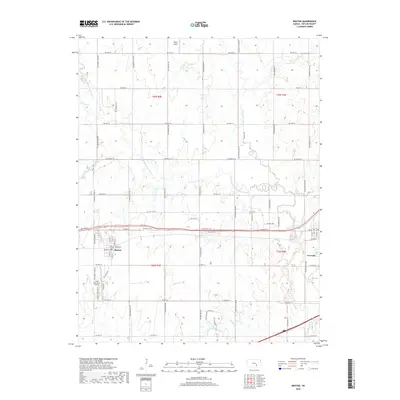
2018 Map of Benton
USGS Topo · Published 2018About this map
The town of Benton and the neighboring settlement of Towanda anchor this Butler County landscape, where the agricultural grid is intersected by the winding paths of the Whitewater River and its tributaries. In the late 2010s, the area maintains a balance between its rural roots and aviation infrastructure, notably featuring Lloyd Stearman Field south of Benton and Taylor Airport to the north. These sites reflect the region's historical and ongoing connection to local flight.
Find a feature on this map
65 named features on this map. Tap any name to fly to it.
Don’t see what you’re looking for? This feature index may not catch every label — zoom into the map to look around manually.
Map Details
Editions of this 2018 Benton Map
This is the sole edition of this map. No revisions or reprints were ever made.
Other maps of this area

1888 · Eldorado
USGS Topo · 1:125,000

1889 · Wichita
USGS Topo · 1:125,000

1894 · Wichita
USGS Topo · 1:125,000

1945 · Andover
USGS Topo · 1:31,680

1955 · Santa Fe Lake
USGS Topo · 1:24,000

1955 · Benton
USGS Topo · 1:24,000

1955 · Greenwich
USGS Topo · 1:24,000

1955 · Wichita
USGS Topo · 1:250,000
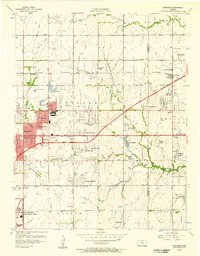
1956 · Andover
USGS Topo · 1:24,000

1958 · Wichita
USGS Topo · 1:250,000