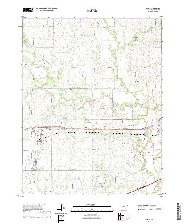
2022 Map of Benton
USGS Topo · Published 2022About this map
Benton and its surrounding Butler County landscape are defined by the convergence of several waterways including the West Branch Whitewater River and Prairie Cr. This modern survey illustrates the persistent grid of section lines and range roads that structure the Kansas prairie, punctuated by aviation landmarks like Lloyd Stearman Field and Taylor Airport. For genealogists, the map identifies both the Benton Cem near the town center and the Old Benton Cem to the southwest, providing specific geographic context for local family history. The eastern edge of the quadrangle includes a portion of Towanda, situated where the Whitewater River and its western branch meet. The terrain is relatively flat, drained by minor tributaries like Badger Cr and Rock Cr, which carve subtle paths through the township and range divisions.
Find a feature on this map
35 named features on this map. Tap any name to fly to it.
Don’t see what you’re looking for? This feature index may not catch every label — zoom into the map to look around manually.
Map Details
Editions of this 2022 Benton Map
This is the sole edition of this map. No revisions or reprints were ever made.
Other maps of this area

1888 · Eldorado
USGS Topo · 1:125,000

1889 · Wichita
USGS Topo · 1:125,000

1894 · Wichita
USGS Topo · 1:125,000

1945 · Andover
USGS Topo · 1:31,680

1955 · Santa Fe Lake
USGS Topo · 1:24,000

1955 · Benton
USGS Topo · 1:24,000

1955 · Greenwich
USGS Topo · 1:24,000

1955 · Wichita
USGS Topo · 1:250,000
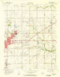
1956 · Andover
USGS Topo · 1:24,000

1958 · Wichita
USGS Topo · 1:250,000