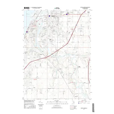
2017 Map of Benton Harbor
USGS Topo · Published 2017About this map
Benton Harbor and St. Joseph anchor this 2017 survey where the Saint Joseph River meets the eastern shore of Lake Michigan. The map reveals a complex aquatic landscape defined by the Morrison Channel, the winding Paw Paw River, and Marina Island. Local genealogy interests are well-served by the high concentration of cemeteries, including Crystal Springs Cem, B'nai Sholom Cem, and the riverfront Riverview Cem.
Find a feature on this map
56 named features on this map. Tap any name to fly to it.
Don’t see what you’re looking for? This feature index may not catch every label — zoom into the map to look around manually.
Map Details
Editions of this 2017 Benton Harbor Map
This is the sole edition of this map. No revisions or reprints were ever made.
Other maps of this area

1927 · Niles
USGS Topo · 1:62,500

1927 · Benton Harbor
USGS Topo · 1:62,500

1930 · Three Oaks
USGS Topo · 1:62,500

1930 · Benton Harbor
USGS Topo · 1:62,500

1930 · Niles
USGS Topo · 1:62,500

1943 · Niles
USGS Topo · 1:62,500

1944 · Three Oaks
USGS Topo · 1:62,500

1953 · Chicago
USGS Topo · 1:250,000

1957 · Chicago
USGS Topo · 1:250,000

1958 · Racine
USGS Topo · 1:250,000