2023 Map of Benton Harbor
USGS Topo · Published 2023About this map
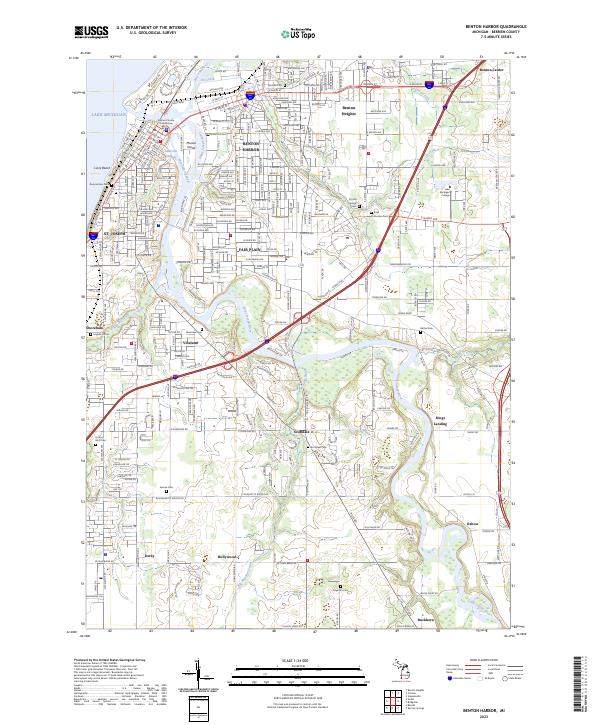
Benton Harbor and St. Joseph stand at the mouth of the Saint Joseph River, a critical meeting point of industrial history and coastal geography on Lake Michigan. The urban core is anchored by the Berrien County Courthouse and a dense network of roads like Territorial Rd and E Main St that reflect the growth of these twin cities. Beyond the city centers, the landscape transitions into established residential areas such as Fair Plain and Benton Heights, alongside numerous burial grounds including Crystal Springs Cem and B'nai Sholom Cem. Along the river’s winding course, smaller settlements like Vineland and Scottdale appear, while Marina Island and Morrison Channel illustrate the maritime activity fundamental to this Great Lakes port community. The presence of Lake Michigan College further north highlights the region's mid-century expansion into educational and institutional development.
Find a feature on this map
58 named features on this map. Tap any name to fly to it.
Don’t see what you’re looking for? This feature index may not catch every label — zoom into the map to look around manually.
Map Details
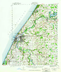
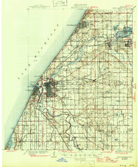
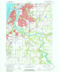
Editions of this 2023 Benton Harbor Map
This is the sole edition of this map. No revisions or reprints were ever made.
Historical Maps of Hollywood Through Time
4 maps found
Featured Locations
- Benton Charter Township, MI
- Benton Harbor, MI
- Saint Joseph, MI
- Fair Plain, Benton Charter Township
- Shoreham, Saint Joseph Charter Township