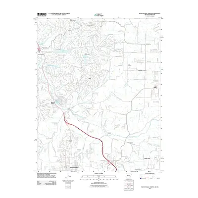
2011 Map of Bentonville North
USGS Topo · Published 2011About this map
Bentonville and the expanding resort-oriented landscape of Bella Vista define this corner of Northwest Arkansas in the early 21st century. The map reveals a complex water-management system of engineered lakes and dams, including Lake Norwood, Lake Ann, and Lake Rayburn, which altered the drainage of Little Sugar Creek and its many hollows. Despite the dense modern residential street grids, older geographic markers persist, such as the Shady Grove Community Hall and several local burial grounds like Oakes Cemetery and Valley View Cemetery. The terrain is characterized by deep ravines like Pinion Hollow and Pumpkin Hollow, while the plateau of Pea Ridge overlooks the valley floor. Natural springs, including Big Spring and Blowing Springs, remain prominent features in the karst-influenced landscape north of the city center.
Find a feature on this map
173 named features on this map. Tap any name to fly to it.
Don’t see what you’re looking for? This feature index may not catch every label — zoom into the map to look around manually.
Map Details
Editions of this 2011 Bentonville North Map
This is the sole edition of this map. No revisions or reprints were ever made.
Other maps of this area

1899 · Fayetteville
USGS Topo · 1:125,000

1901 · Fayetteville
USGS Topo · 1:125,000

1904 · Fayetteville
USGS Topo · 1:125,000

1940 · Noel
USGS Topo · 1:62,500

1941 · Rocky Comfort
USGS Topo · 1:62,500

1943 · Noel
USGS Topo · 1:62,500

1943 · Rocky Comfort
USGS Topo · 1:62,500

1954 · Tulsa
USGS Topo · 1:250,000

1958 · Rogers
USGS Topo · 1:24,000

1958 · Pea Ridge
USGS Topo · 1:24,000