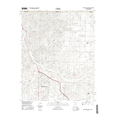
2017 Map of Bentonville North
USGS Topo · Published 2017About this map
Bentonville and its northern suburbs are defined by a complex network of recreation and residential expansion near the Missouri-Arkansas state line. The landscape is characterized by the winding path of The Back 40 Loop, a mountain biking and hiking trail that weaves through the Ozark topography, connecting various residential pockets and water bodies like Lake Ann and Lake Brittany. This modern infrastructure overlays an older rural framework, where small community centers like Little Flock and Pea Ridge are anchored by family-named landmarks and cemeteries.
Find a feature on this map
262 named features on this map. Tap any name to fly to it.
Don’t see what you’re looking for? This feature index may not catch every label — zoom into the map to look around manually.
Map Details
Editions of this 2017 Bentonville North Map
This is the sole edition of this map. No revisions or reprints were ever made.
Other maps of this area

1899 · Fayetteville
USGS Topo · 1:125,000

1901 · Fayetteville
USGS Topo · 1:125,000

1904 · Fayetteville
USGS Topo · 1:125,000

1940 · Noel
USGS Topo · 1:62,500

1941 · Rocky Comfort
USGS Topo · 1:62,500

1943 · Noel
USGS Topo · 1:62,500

1943 · Rocky Comfort
USGS Topo · 1:62,500

1954 · Tulsa
USGS Topo · 1:250,000

1958 · Rogers
USGS Topo · 1:24,000

1958 · Pea Ridge
USGS Topo · 1:24,000