2022 Map of Bentonville
USGS Topo · Published 2022About this map
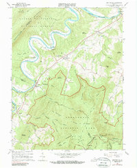
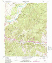
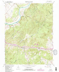
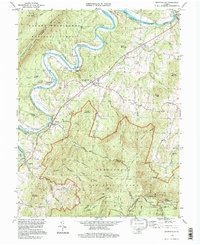
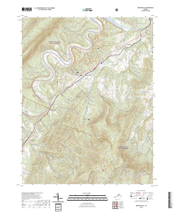
Bentonville and the winding South Fork Shenandoah River dominate this landscape where the George Washington National Forest meets the northern reaches of Shenandoah National Park. The river snakes through the valley floor, passing through Burners Bottom and Overall, while the Norfolk Southern railroad tracks parallel its course to serve small valley communities like Limeton and Compton. This survey is particularly valuable for genealogists, as it documents numerous family burying grounds such as the Brown-Pinkett Cem, Carter Family Cem, and the Stewart-Baltimore Family Cem.
Find a feature on this map
142 named features on this map. Tap any name to fly to it.
Don’t see what you’re looking for? This feature index may not catch every label — zoom into the map to look around manually.
Map Details
Editions of this 2022 Bentonville Map
This is the sole edition of this map. No revisions or reprints were ever made.
Historical Maps of Fourway Through Time
8 maps found