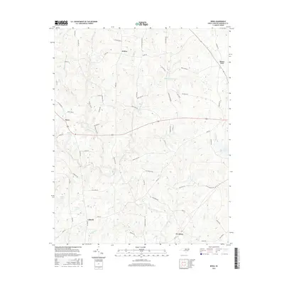
2016 Map of Berea
USGS Topo · Published 2016About this map
The Tar River and its upper tributaries, including the N Fork Tar River, carve through this rural section of Granville County during the mid-2010s. The landscape is defined by small, dispersed settlements such as Providence, Hebron, and Berea, connected by a network of farm-to-market roads. A high density of family-named landmarks is evident throughout the terrain, with routes like Goochs Mill Rd, Tommie Daniel Rd, and Bob Daniel Rd reflecting generations of local land ownership. Significant water features including Lake Devin and Whites Lake punctuate the wooded hillsides, while the village of Kinton Fork sits at a prominent crossroads in the northeast. This survey provides a clear view of the area's transition between agricultural fields and modern rural residences, anchored by the community of Culbreth near the southern edge.
Find a feature on this map
64 named features on this map. Tap any name to fly to it.
Don’t see what you’re looking for? This feature index may not catch every label — zoom into the map to look around manually.
Map Details
Editions of this 2016 Berea Map
This is the sole edition of this map. No revisions or reprints were ever made.
Other maps of this area
1943 · Roxboro
USGS Topo · 1:62,500
1943 · Creedmoor
USGS Topo · 1:62,500
1944 · Creedmoor
USGS Topo · 1:62,500
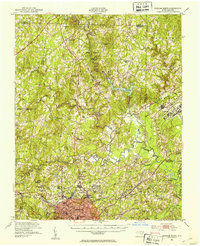
1951 · Durham North
USGS Topo · 1:62,500
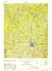
1953 · Oxford
USGS Topo · 1:62,500
1953 · Greensboro
USGS Topo · 1:250,000
1954 · Greensboro
USGS Topo · 1:250,000
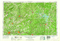
1962 · Greensboro
USGS Topo · 1:250,000
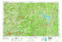
1966 · Greensboro
USGS Topo · 1:250,000
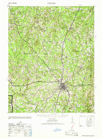
1966 · Oxford
USGS Topo · 1:62,500