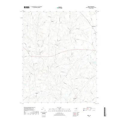
2019 Map of Berea
USGS Topo · Published 2019About this map
The upper headwaters of the Tar River and the N Fork Tar River define the rural landscape of western Granville County. This survey captures a series of historically significant unincorporated communities, including Berea, Providence, and Hebron, which serve as local anchors for a network of family-named roads. The terrain is a complex web of small drainages and creeks, such as Shelton Cr and Cattail Cr, feeding into larger impoundments like Lake Devin and Veazys Lake.
Find a feature on this map
65 named features on this map. Tap any name to fly to it.
Don’t see what you’re looking for? This feature index may not catch every label — zoom into the map to look around manually.
Map Details
Editions of this 2019 Berea Map
This is the sole edition of this map. No revisions or reprints were ever made.
Other maps of this area

1943 · Roxboro
USGS Topo · 1:62,500

1943 · Creedmoor
USGS Topo · 1:62,500

1944 · Creedmoor
USGS Topo · 1:62,500

1951 · Durham North
USGS Topo · 1:62,500

1953 · Oxford
USGS Topo · 1:62,500

1953 · Greensboro
USGS Topo · 1:250,000

1954 · Greensboro
USGS Topo · 1:250,000

1962 · Greensboro
USGS Topo · 1:250,000

1966 · Greensboro
USGS Topo · 1:250,000

1966 · Oxford
USGS Topo · 1:62,500