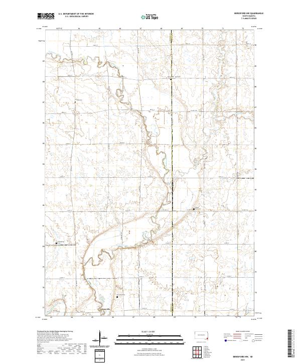
2021 Map of Beresford NW
USGS Topo · Published 2021About this map
Centerville sits along the southern edge of this landscape where Turkey Ridge Cr joins the Vermillion River. The terrain is defined by the winding course of the river as it meanders through the borderlands of Turner and Lincoln counties. This rural South Dakota area is dotted with small, family and community landmarks that speak to the region's agricultural heritage and early settlement patterns.
Find a feature on this map
33 named features on this map. Tap any name to fly to it.
Don’t see what you’re looking for? This feature index may not catch every label — zoom into the map to look around manually.
Map Details
Editions of this 2021 Beresford NW Map
This is the sole edition of this map. No revisions or reprints were ever made.
Other maps of this area

1897 · Canton
USGS Topo · 1:125,000

1898 · Parker
USGS Topo · 1:125,000

1900 · Canton
USGS Topo · 1:125,000

1955 · Sioux Falls
USGS Topo · 1:250,000

1958 · Sioux Falls
USGS Topo · 1:250,000

1964 · Worthing
USGS Topo · 1:24,000

1964 · Lennox
USGS Topo · 1:24,000
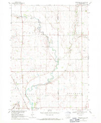
1968 · Beresford NW
USGS Topo · 1:24,000
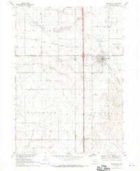
1968 · Beresford
USGS Topo · 1:24,000
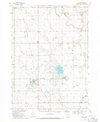
1968 · Hurley
USGS Topo · 1:24,000
Featured Places
- Brooklyn Township, SD
- Delaware Township, SD
- Centerville Township, SD
- Turner Township, SD
- Lincoln County, SD