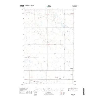
2020 Map of Bergen
USGS Topo · Published 2020About this map
Verendrye, Karlsruhe, and Bergen form a small cluster of rural settlements across this McHenry County landscape, reflecting the heritage of early Scandinavian and German settlers in North Dakota. The map is particularly notable for its high density of denominational burial grounds, such as the Old Swedish Norwegian Cem, German Lutheran Cem, and Saint John Cem, which serve as vital markers for genealogical research in this township-and-range grid.
Find a feature on this map
33 named features on this map. Tap any name to fly to it.
Don’t see what you’re looking for? This feature index may not catch every label — zoom into the map to look around manually.
Map Details
Editions of this 2020 Bergen Map
This is the sole edition of this map. No revisions or reprints were ever made.
Other maps of this area

1929 · Kongsberg
USGS Topo · 1:62,500

1929 · Balfour
USGS Topo · 1:62,500

1948 · Voltaire
USGS Topo · 1:24,000

1948 · Velva
USGS Topo · 1:62,500

1949 · Simcoe
USGS Topo · 1:24,000

1949 · Voltaire
USGS Topo · 1:24,000

1949 · Karlsruhe NW
USGS Topo · 1:24,000

1950 · Karlsruhe NE
USGS Topo · 1:24,000

1951 · Velva
USGS Topo · 1:62,500

1954 · Minot
USGS Topo · 1:250,000