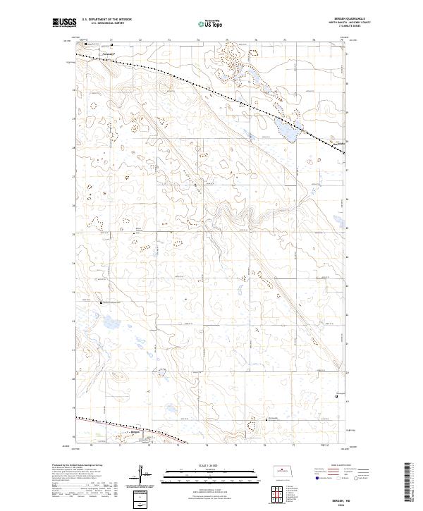
2024 Map of Bergen
USGS Topo · Published 2024About this map
The prairie landscape of McHenry County is punctuated by small rural communities and a diverse collection of burial grounds reflecting the area's immigrant heritage. Verendrye sits in the northwest corner, while the small settlement of Bergen is situated at the southern edge, connected by a grid of agricultural roads like 41st St N and Viking Ave. The physical geography is dominated by the elongated Hogback Ridge, which cuts diagonally across the township.
Find a feature on this map
34 named features on this map. Tap any name to fly to it.
Don’t see what you’re looking for? This feature index may not catch every label — zoom into the map to look around manually.
Map Details
Editions of this 2024 Bergen Map
This is the sole edition of this map. No revisions or reprints were ever made.
Other maps of this area

1929 · Kongsberg
USGS Topo · 1:62,500

1929 · Balfour
USGS Topo · 1:62,500

1948 · Voltaire
USGS Topo · 1:24,000

1948 · Velva
USGS Topo · 1:62,500

1949 · Simcoe
USGS Topo · 1:24,000

1949 · Voltaire
USGS Topo · 1:24,000

1949 · Karlsruhe NW
USGS Topo · 1:24,000

1950 · Karlsruhe NE
USGS Topo · 1:24,000

1951 · Velva
USGS Topo · 1:62,500

1954 · Minot
USGS Topo · 1:250,000