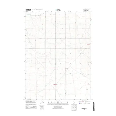
2013 Map of Berger Butte
USGS Topo · Published 2013About this map
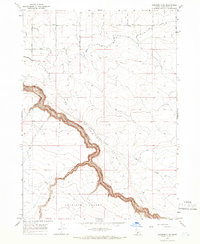
Berger Butte stands as a prominent landmark in this section of Twin Falls County, presiding over a landscape defined by an intricate network of water management. The agricultural character of the region is evident through the presence of the High Line Canal and Lateral 213, which channel water across the high plains. A significant local feature is the Berger Reservoir, located just north of the Lincoln Corral, indicating the area's long-standing reliance on water storage and livestock infrastructure. Drainage patterns are further defined by Deep Creek, which meanders through the southern half of the quadrangle toward Mud Lake. The grid-like arrangement of roads, such as N 1900 E and E 3400 N, reflects the systematic division of public land in southern Idaho, providing a clear framework for tracing property boundaries and historic ranching sites.
Find a feature on this map
25 named features on this map. Tap any name to fly to it.
Don’t see what you’re looking for? This feature index may not catch every label — zoom into the map to look around manually.
Map Details
Editions of this 2013 Berger Butte Map
This is the sole edition of this map. No revisions or reprints were ever made.
Other maps of this area
1950 · Filer
USGS Topo · 1:24,000
1950 · Jerome
USGS Topo · 1:62,500
1951 · Clover
USGS Topo · 1:24,000

1955 · Twin Falls
USGS Topo · 1:250,000

1958 · Twin Falls
USGS Topo · 1:250,000
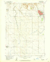
1958 · Buhl
USGS Topo · 1:24,000
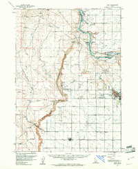
1959 · Buhl
USGS Topo · 1:62,500
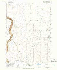
1965 · Hollister SW
USGS Topo · 1:24,000
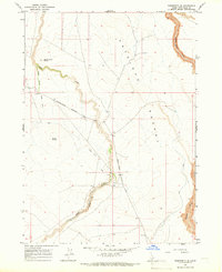
1965 · Roseworth SE
USGS Topo · 1:24,000
1965 · Roseworth NE
USGS Topo · 1:24,000