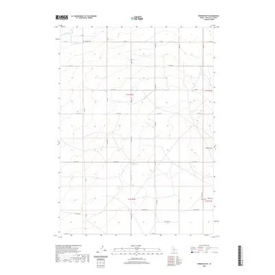
2020 Map of Berger Butte
USGS Topo · Published 2020About this map
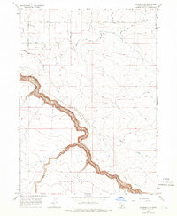
Berger Butte stands as a prominent landmark in this section of Twin Falls County, presiding over a landscape defined by high-desert irrigation and agricultural gridwork. The High Line Canal cuts across the northwest corner, a critical piece of water infrastructure that transformed this arid region. The drainage patterns of Deep Cr and the presence of the Berger Reservoir indicate the ongoing management of water resources essential for the local township and range system. This 2020 survey illustrates the modern configuration of rural roads like 3400 North Rd and 1800 East Rd, which follow the rigid section lines of the Public Land Survey System. In the eastern portion of the quadrangle, Mud Lake provides a natural contrast to the engineered waterways that support the surrounding farmsteads.
Find a feature on this map
29 named features on this map. Tap any name to fly to it.
Don’t see what you’re looking for? This feature index may not catch every label — zoom into the map to look around manually.
Map Details
Editions of this 2020 Berger Butte Map
This is the sole edition of this map. No revisions or reprints were ever made.
Other maps of this area
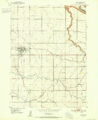
1950 · Filer
USGS Topo · 1:24,000
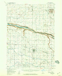
1950 · Jerome
USGS Topo · 1:62,500
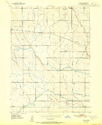
1951 · Clover
USGS Topo · 1:24,000

1955 · Twin Falls
USGS Topo · 1:250,000

1958 · Twin Falls
USGS Topo · 1:250,000
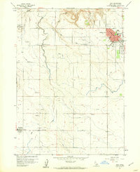
1958 · Buhl
USGS Topo · 1:24,000
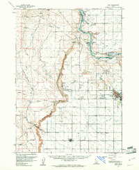
1959 · Buhl
USGS Topo · 1:62,500
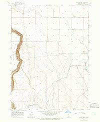
1965 · Hollister SW
USGS Topo · 1:24,000
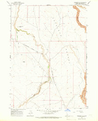
1965 · Roseworth SE
USGS Topo · 1:24,000
1965 · Roseworth NE
USGS Topo · 1:24,000